


Transalp Tag 4
von Meran nach Cles
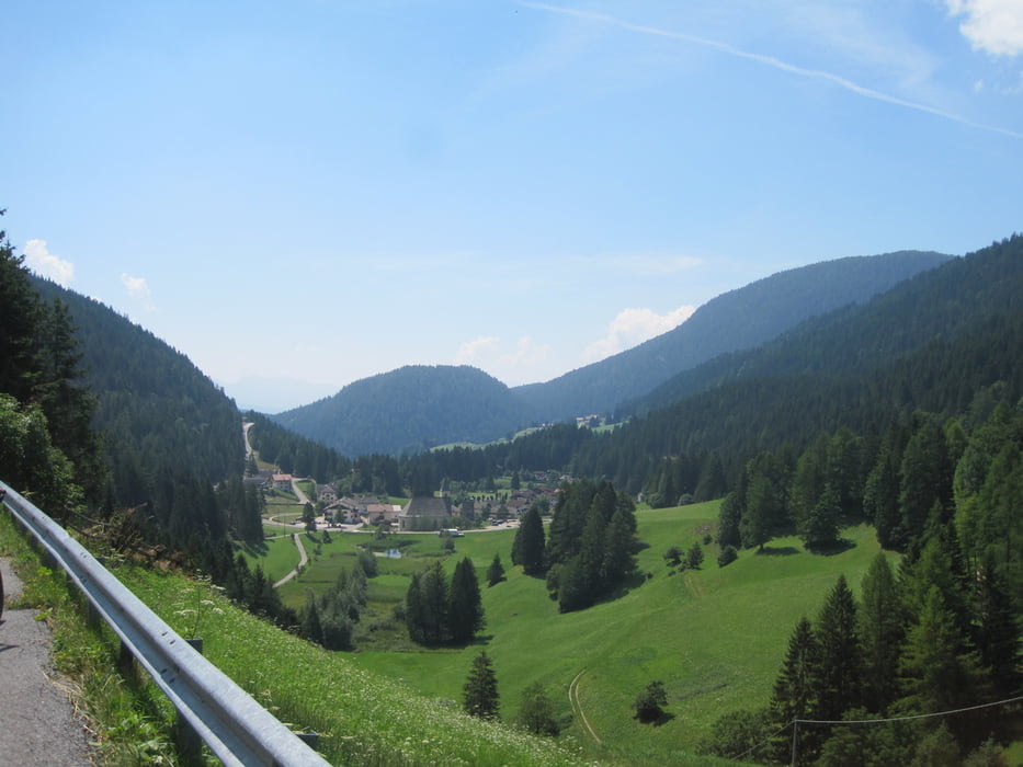
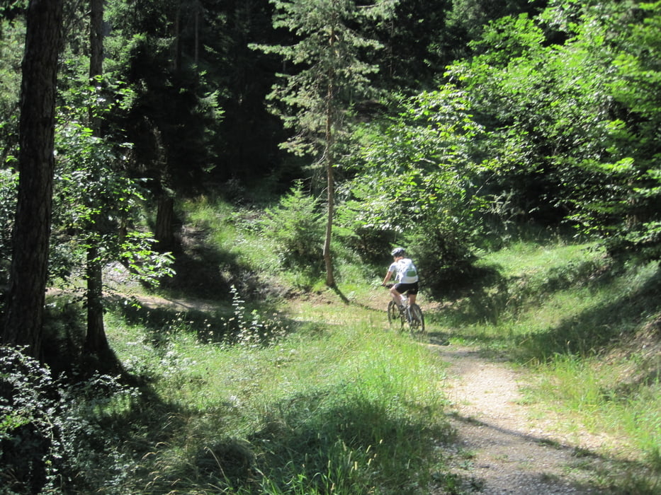
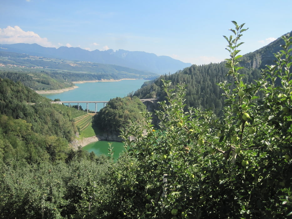
Streckenverlauf: Meran - Strada Statale - Lana - über Kauzinerstraße, Kirchweg, Via della Chiesa, Via Brandis rauf nach Navano - Waldweg über Moser, dann wieder auf die Strada Statale 238 - bis zum Gampenpass (1518 m NN) - schöne Abfahrt zum kleinen Ort "Unsere Liebe Frau im Walde (ideal für Mittagspause) - Waldwege, über Hügel und oberhalb Apfelplantagen - über Revo - Gagno - herrlicher Blick auf den "Lago di Santo Giustina" - wir überqueren auf der Autostraße die große Brücke (keine Möglichkeit die Aussicht zu geniesen) - und fahren auf der Straße rauf bis nach Gles (650 mNN, den Hauptort des Nonstales
Länge ca. 55 km
Fahrtzeit ca. 6 Std
Tageshöhenprofil ca. 1450 hm
Höchster Punkt Gampenpass
von Lana bis rauf auf den Pass ist es etwas schweißtreibend, dann aber z.T. herrliche schattige Waldwege
Further information at
https://de.wikipedia.org/wiki/Santa-Giustina-TalsperreTour gallery
Tour map and elevation profile
Minimum height 268 m
Maximum height 1541 m
More about the tour author
|
|
RobKa |
Comments

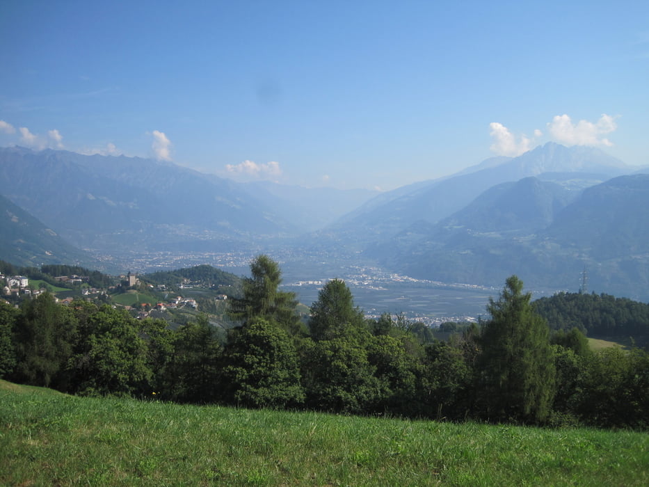
Ausgangspunkt ist Meran, der Zielort der Vortagesetappe
GPS tracks
Trackpoints-
GPX / Garmin Map Source (gpx) download
-
TCX / Garmin Training Center® (tcx) download
-
CRS / Garmin Training Center® (crs) download
-
Google Earth (kml) download
-
G7ToWin (g7t) download
-
TTQV (trk) download
-
Overlay (ovl) download
-
Fugawi (txt) download
-
Kompass (DAV) Track (tk) download
-
Track data sheet (pdf) download
-
Original file of the author (tcx) download
More about the tour author
|
|
RobKa |
Add to my favorites
Remove from my favorites
Edit tags
Open track
My score
Rate