

Alpencross 2015 Teil4
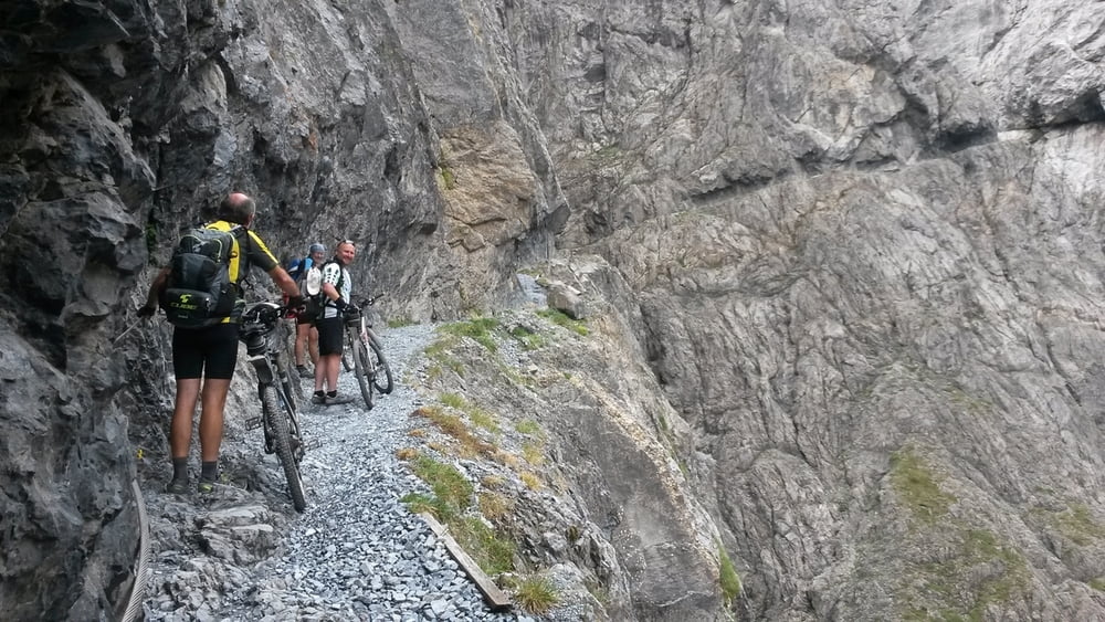
Von Sur En das traumhafte Tal Val d`Uina bergauf bis zus Sesvennahütte. Jetzt bergab ins Vinschgau. Durch die Obsthaine immer bergab. Übernachtung in Schlanders (vom Gewitter überrascht) in der Pension Schweitzer.
Am nächsten Tag weiter über Meran nach Lana, jetzt bergauf nach Völlan und über Waldwegen bis kurz vor das Gampenjoch. Nach dem Gampenpass haben wir wieder Schotterwege bergab gefunden. Übernachtung in Fondo Agritura Arcobello.
Weiter siehe Teil 5
Tour map and elevation profile
Minimum height 270 m
Maximum height 2307 m
More about the tour author

|
bernd_brinck |
Comments

GPS tracks
Trackpoints-
GPX / Garmin Map Source (gpx) download
-
TCX / Garmin Training Center® (tcx) download
-
CRS / Garmin Training Center® (crs) download
-
Google Earth (kml) download
-
G7ToWin (g7t) download
-
TTQV (trk) download
-
Overlay (ovl) download
-
Fugawi (txt) download
-
Kompass (DAV) Track (tk) download
-
Track data sheet (pdf) download
-
Original file of the author (gpx) download
More about the tour author
|
|
bernd_brinck |
Add to my favorites
Remove from my favorites
Edit tags
Open track
My score
Rate