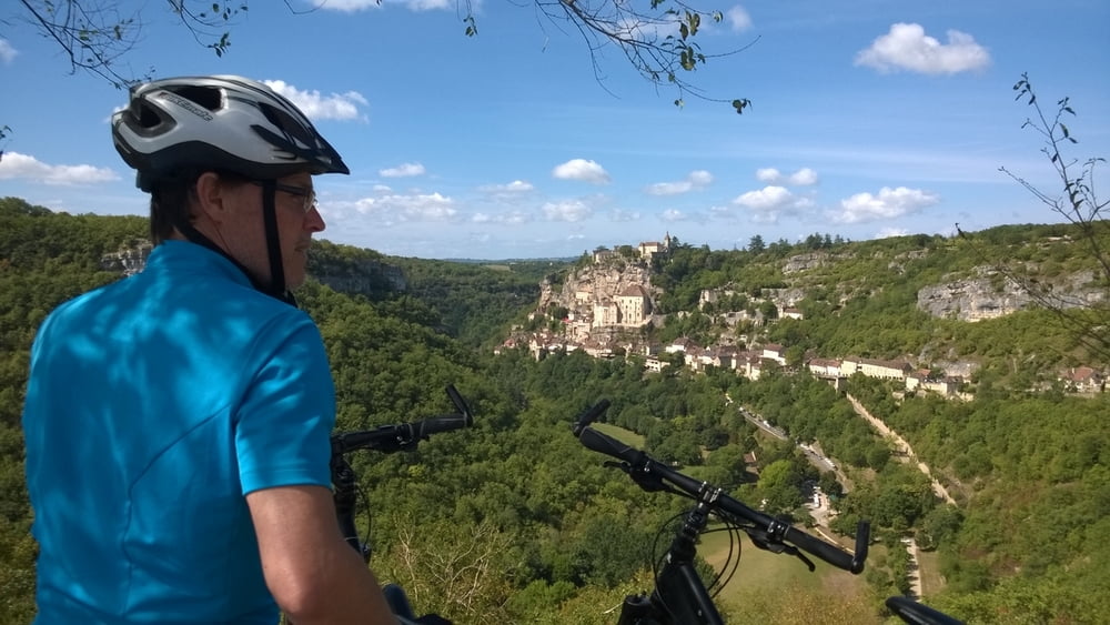
Wunderschöne Rundtour mit unterschiedlichsten Sehenswürdigkeiten:
- Rocamadour (mittelalterliche Stadt in den Kalkfelsen gebaut, steile Felsen, tolle Aussichten, allerdings viele Touristen, viele kleine Shops und Einkehrmöglichkeiten)
- wild-romatische Fahrt im Tal der Alzou und der Ouysee bis zur Dordogne (Mountainbike oder Tourenbike unbedingt erforderlich da einige kurze Abschnitte enge steinige Wanderwegen sind)
- Weiterfahrt auf größtenteils wenig befahrenen Asphaltstraßen an der Dordogne entlang; Einkehrmöglichkeit bei Lacave.
- An der Dordogne immer wieder wunderschöne Badeplätze mit sauberem Wasser; besonders beim Campingplatz Les Falaises
- immer wieder imposante Steilabbrüche mit Karstquellen und romantischen Städchen (Creysse, Les Falaises)
- Rückfahrt zum Ausgangspunkt per Bahn von Saint-Denis-Les-Martel um 5 € (Achtung, an Sonn- und Feiertagen nur wenige Züge, Fahrradmitnahme möglich und kostenfrei)
Tour map and elevation profile
Comments

Per Bahn bis zur Bahnhaltestelle 'Rocamadour'.
Per Auto auf der D840 bis zur Bahnhaltestelle 'Rocamadour'
GPS tracks
Trackpoints-
GPX / Garmin Map Source (gpx) download
-
TCX / Garmin Training Center® (tcx) download
-
CRS / Garmin Training Center® (crs) download
-
Google Earth (kml) download
-
G7ToWin (g7t) download
-
TTQV (trk) download
-
Overlay (ovl) download
-
Fugawi (txt) download
-
Kompass (DAV) Track (tk) download
-
Track data sheet (pdf) download
-
Original file of the author (gpx) download


