


Killarney - Gap of Dunloe – Black Valley- Ballagh Beama - Pass- Kenmare – Lough Guitane
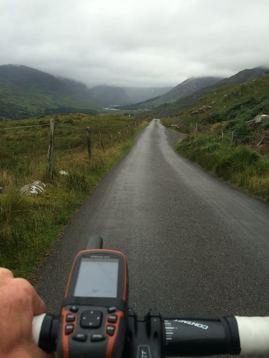
Aufgrund des schlechten Wetters und mit dem Wissen um den Verkehr am Ring of Kerry habe ich nicht meine ursprünglich geplante Runde (Killarney, Gap of Dunloe, Seneem, Blackwater, Kemnare, Ladies View und zurück) während der Fahrt geändert. Bin Dann nach dem Black Valley in Richtung „Sonne“ gefahren und somit ist diese Tour entstanden. Eigentlich ganz toll, nur zwischen Kenmare und Lough Gitane wenig Spektakulär wenn man die Strecke mit dem ersten Abschnitt vergleicht.
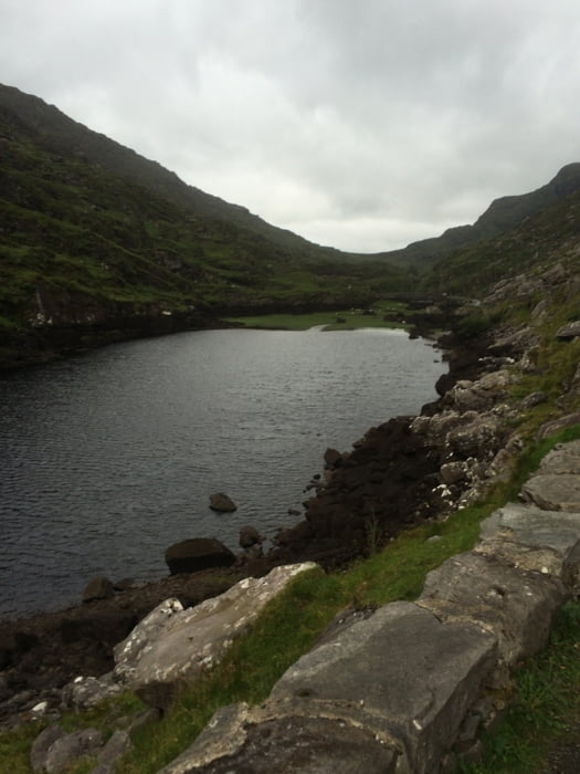
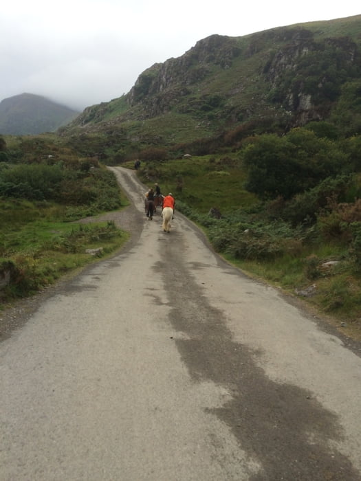
Gap of Dunloe und Black Valley, sind Sahnestücke der Irischen Landschaft und bei diesem neblig- regnerischen Wetter ziemlich mystisch
Viel Spaß
PS: In einem der O'Sullivan Stores gibts auch Carbon Renner for Hire :)
Further information at
http://www.osullivanscycles.com/Tour gallery
Tour map and elevation profile
Minimum height 9 m
Maximum height 274 m
More about the tour author
|
|
UweEibel |
Comments

Irgendwo in Killarney starten und am Track orientieren. Bin einen kleinen Umweg gefahren.
GPS tracks
Trackpoints-
GPX / Garmin Map Source (gpx) download
-
TCX / Garmin Training Center® (tcx) download
-
CRS / Garmin Training Center® (crs) download
-
Google Earth (kml) download
-
G7ToWin (g7t) download
-
TTQV (trk) download
-
Overlay (ovl) download
-
Fugawi (txt) download
-
Kompass (DAV) Track (tk) download
-
Track data sheet (pdf) download
-
Original file of the author (gpx) download
More about the tour author
|
|
UweEibel |
Add to my favorites
Remove from my favorites
Edit tags
Open track
My score
Rate