


Hier sind die Trails des Schiener Bergs miteinander so verbunden wurden, dass die Trails hauptsächlich mit leicht fallendenen Gefälle gefahren werden können. Damit ist der maximale Flow garantiert. Weiterhin besticht diese Tour durch ihre schönen Aussichtsmöglichkeiten.
Die Anstige verlaufen zum größen Teil auf breiten Forstwegen und sind leicht bis mäßig steil.So bleiben noch einige Körner übrig um sie auf den Trails zu verheizen.
Einfach krachen lassen.
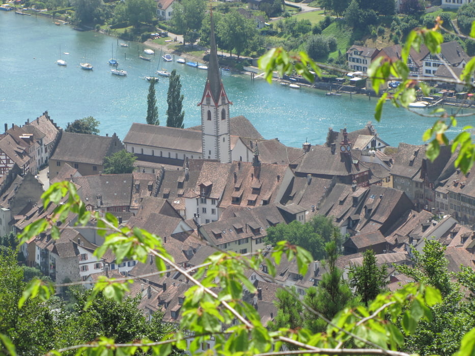
Tour gallery
Tour map and elevation profile
Minimum height 360 m
Maximum height 620 m
More about the tour author
|
|
Kempi |
Comments

An der Kirche in Öhningen findet man immer einen Parkplatz.
GPS tracks
Trackpoints-
GPX / Garmin Map Source (gpx) download
-
TCX / Garmin Training Center® (tcx) download
-
CRS / Garmin Training Center® (crs) download
-
Google Earth (kml) download
-
G7ToWin (g7t) download
-
TTQV (trk) download
-
Overlay (ovl) download
-
Fugawi (txt) download
-
Kompass (DAV) Track (tk) download
-
Track data sheet (pdf) download
-
Original file of the author (gpx) download
More about the tour author
|
|
Kempi |
Add to my favorites
Remove from my favorites
Edit tags
Open track
My score
Rate