Login

Forgot your login?

Cookies have to be accepted!
Your browser's cookie functionality is disabled. Please enable this functionality.

Not a member yet?

Register now
Login

Available for registred users only

Log in to use this feature.

Forgot your login?

Cookies have to be accepted!
Your browser's cookie functionality is disabled. Please enable this functionality.

Not a member yet?

Register now
Filter
Categories
Advanced filters
  • Distance (km)
  • Height
Save filters Reset filter

TrackRank

QRCode

Technical data

Distance68,8 km Height2091 m Way down2076 m Duration03:08 h:m Date18.09.2015
Scores Author Landscape Fun factor Fitness Technique

Statistics

195 Views Scores 36 Downloads Average
Rate
  • Track data sheet
  • Directions
  • Downloads

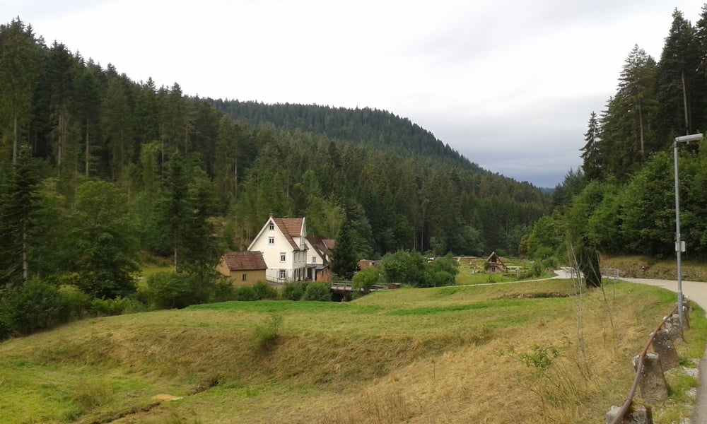
Sehr schöne Tour mit wenig Verkehr, führt zumeist auf Waldwegen. Alle sind gut geteert mit Ausnahme von einem einzigen, wirklich kurzen Stück Kopfsteinpflaster.


Tour gallery

Tour map and elevation profile

  • Open Street Map
  • Google
Minimum height 392 m Maximum height 967 m Detailed view

More about the tour author

Stefan21
Member since 2013

Send private message

Comments

Start der Tour war der Ferienhof Hoferpeterhof, es gibt öffentliche Parkplätze in der Nähe des Freibad Bad Peterstal.


GPS tracks

Trackpoints
  • GPX / Garmin Map Source (gpx) download
  • TCX / Garmin Training Center® (tcx) download
  • CRS / Garmin Training Center® (crs) download
  • Google Earth (kml) download
  • G7ToWin (g7t) download
  • TTQV (trk) download
  • Overlay (ovl) download
  • Fugawi (txt) download
  • Kompass (DAV) Track (tk) download
  • Track data sheet (pdf) download
  • Original file of the author (gpx) download

More about the tour author

Stefan21
Member since 2013

Send private message
Share track
Add to my favorites
Remove from my favorites
Edit tags
My score
Rate
Track: 3 Gipfel rund um Bad Peterstal
Type: Road biking
Distance: 68,8 km
Evaluated on:
Duration:
Day(s)
Hour(s)
Minute(s)
Score: Landscape Fun factor Fitness Technique