Login

Forgotten password?

Cookies have to be accepted!
Your browser's cookie functionality is disabled. Please enable this functionality.

Not a member yet?

Register now
Login

Available for registred users only

Log in to use this feature.

Forgotten password?

Cookies have to be accepted!
Your browser's cookie functionality is disabled. Please enable this functionality.

Not a member yet?

Register now
Filter
Categories
Advanced filters
  • Distance (km)
  • Height
Save filters Reset filter

TrackRank

QRCode

Technical data

Distance13,7 km Height326 m Way down324 m Duration02:00 h:m Date19.09.2015
Scores Author Landscape Fun factor Fitness Technique

Statistics

258 Views Scores 17 Downloads Average
Rate
  • Track data sheet
  • Directions
  • Downloads

etwas anspruchsvollere MTB Tour rund um das Ilztal.

Hauptsächlich auf Schotter und Waldwegen mit knackigen anstiegen.

Zwei ganz kurze Schiebepassagen für nicht ganz so Technik Freaks.

Startpunkt ist in Kalteneck bei Hutthurm am grossen Parkplatz.

Die Runde kann auch entgegengesetzt gefahren werden.
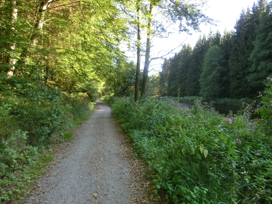
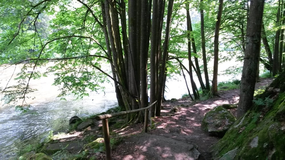
 

Tour gallery

Tour map and elevation profile

  • Open Street Map
  • Google
Minimum height 335 m Maximum height 442 m Detailed view

More about the tour author

franz1962
Member since 2011

Send private message

Comments

GPS tracks

Trackpoints
  • GPX / Garmin Map Source (gpx) download
  • TCX / Garmin Training Center® (tcx) download
  • CRS / Garmin Training Center® (crs) download
  • Google Earth (kml) download
  • G7ToWin (g7t) download
  • TTQV (trk) download
  • Overlay (ovl) download
  • Fugawi (txt) download
  • Kompass (DAV) Track (tk) download
  • Track data sheet (pdf) download
  • Original file of the author (gpx) download

More about the tour author

franz1962
Member since 2011

Send private message
Share track
Add to my favorites
Remove from my favorites
Edit tags
My score
Rate
Track: Ilztal Runde
Type: Mountain bike
Distance: 13,7 km
Evaluated on:
Duration:
Day(s)
Hour(s)
Minute(s)
Score: Landscape Fun factor Fitness Technique