Login

Forgot your login?

Cookies have to be accepted!
Your browser's cookie functionality is disabled. Please enable this functionality.

Not a member yet?

Register now
Login

Available for registred users only

Log in to use this feature.

Forgot your login?

Cookies have to be accepted!
Your browser's cookie functionality is disabled. Please enable this functionality.

Not a member yet?

Register now
Filter
Categories
Advanced filters
  • Distance (km)
  • Height
Save filters Reset filter

TrackRank

QRCode

Technical data

Distance30,9 km Height1218 m Way down1198 m Duration00:00 h:m Date06.10.2015
Scores Author Landscape Fun factor Fitness Technique

Statistics

632 Views 1 Score 179 Downloads 4.00 Average
Rate
  • Track data sheet
  • Directions
  • Downloads

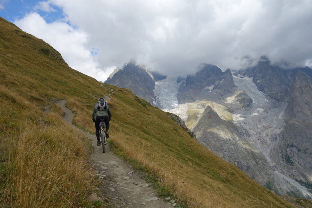
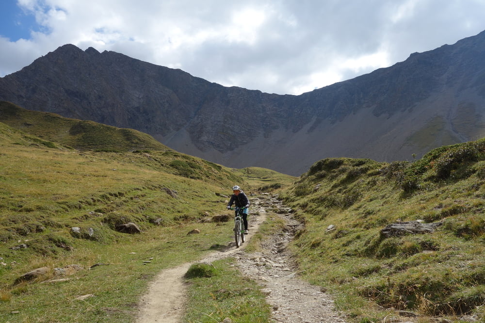
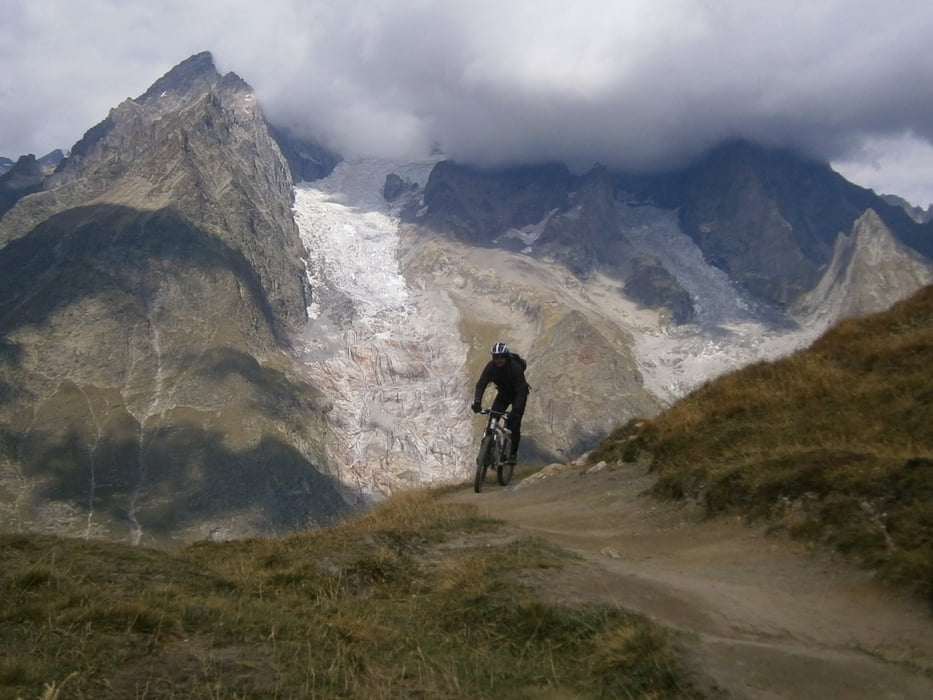
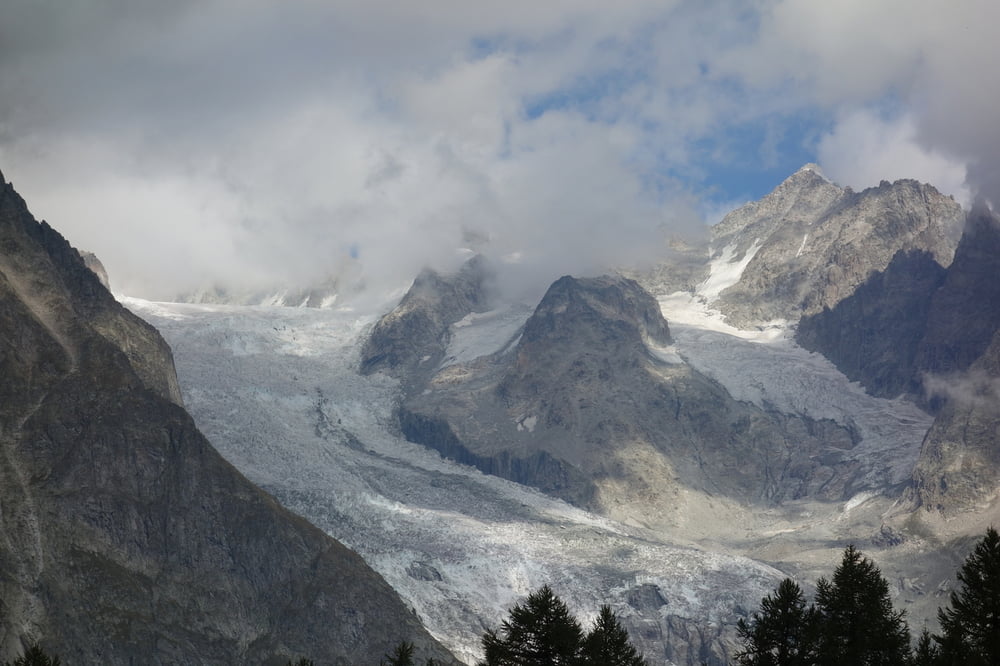
Traumhafte Tour direkt am Mont Blanc. Mit einigen wenigen Schiebestellen und traumhaftem Blick auf des Massiv des höchsten Berg Europas. Allerdings zu manchen Jahreszeiten viele Wanderer. Schöne, anspruchsvolle Trails, die allerdings nicht zu schwer sind.


Tour gallery

Tour map and elevation profile

  • Open Street Map
  • Google
Minimum height 1517 m Maximum height 2453 m Detailed view

More about the tour author

haaaatz
Member since 2011

Send private message

Comments

adi7 on 02.10.2016

die tour

gef. am 23. sept. 2016

wunderschön, zu dieser jahreszeit schon wenig wanderer unterwegs ... hatten kein problem ... super tour !!!

GPS tracks

Trackpoints
  • GPX / Garmin Map Source (gpx) download
  • TCX / Garmin Training Center® (tcx) download
  • CRS / Garmin Training Center® (crs) download
  • Google Earth (kml) download
  • G7ToWin (g7t) download
  • TTQV (trk) download
  • Overlay (ovl) download
  • Fugawi (txt) download
  • Kompass (DAV) Track (tk) download
  • Track data sheet (pdf) download
  • Original file of the author (gpx) download

More about the tour author

haaaatz
Member since 2011

Send private message
Share track
Add to my favorites
Remove from my favorites
Edit tags
My score
Rate
Track: Am Mont Blanc im Val Veny
Type: Mountain bike
Distance: 30,9 km
Evaluated on:
Duration:
Day(s)
Hour(s)
Minute(s)
Score: Landscape Fun factor Fitness Technique