
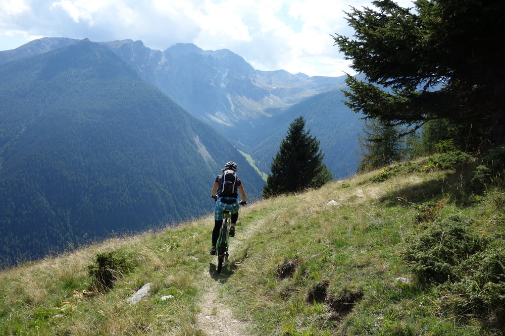

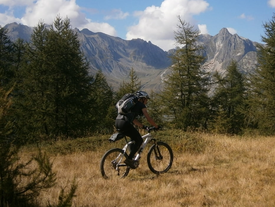
Eine einsame Tour in ein Seitental vom großen St. Bernhardt mit sehr schönen Trails durch Lärchenwälder. Kleinere Tragepassagen und ein befahrbarer Bunker. Alles was eine MTB-Tour schön macht.
Tour gallery


Tour map and elevation profile
Minimum height 1329 m
Maximum height 2430 m
More about the tour author
|
|
haaaatz |
Comments
GPS tracks
Trackpoints-
GPX / Garmin Map Source (gpx) download
-
TCX / Garmin Training Center® (tcx) download
-
CRS / Garmin Training Center® (crs) download
-
Google Earth (kml) download
-
G7ToWin (g7t) download
-
TTQV (trk) download
-
Overlay (ovl) download
-
Fugawi (txt) download
-
Kompass (DAV) Track (tk) download
-
Track data sheet (pdf) download
-
Original file of the author (gpx) download
More about the tour author
|
|
haaaatz |
Add to my favorites
Remove from my favorites
Edit tags
Open track
My score
Rate
die tour
stimmt: --- alles was eine mtb tour schön macht !!!
Traumtrails
Ich habe andere Träume...
Hoch geht es auf Forstwegen, warum man bis zur Alm hoch soll, hat sich mir nicht erschlossen, Tza Neuva ist nicht besonders sehenswert.
Von Tracaoudette bis Essenaz ist Trail, dann wieder hoch auf Forststrasse.
Das Fort Plan Puitz ist OK, kann mal ansehen.
Der Weg hinab muss geschoben werden, da fährt keiner. Steil, eng ausgesetzt. Klar kann man ab und zu fahren, aber Traum?
Trotzdem, Danke für's einstellen, auf dem Weg nach Süden war das eine Zwischenstation.
nix traumtrails
trail von Tracaoudette runter ist erst Viehauf und AbtriebsPfad, dann SO (Forstwegbreit), aber schön durch Lärchenwald;
trail von Plan Piutz: erst s3-4 bzw. unfahrbar.; dann 200Hm s2 schön;
trail parallel zur Passstr. St. Bernhard gesperrt und nicht mehr benutzt alles zugewuchert, Schiebestrecke
Fazit 200Hm guter trail, Rest zum vergessen . Prädikat für mich: unlohnend im Vergleich zu den super Touren, die es ringsrum gibt.