


Vom Parkplatz zum Waldrand, rechts mit Gelbpunkt in den Wald hinein; wir folgen dem Zeichen bis kurz vor Windischgaillenreuth, rechts auf Flurweg weiter nach Moggast. An Straße links und hinter der Kirche rechts ab aus dem Ort heraus über die Flur. Kurz nach Waldbeginn auf Pfad rechts durch den Wald zu Flurweg, Kurz links und rechts zu Kreuzung, mit Gelbpunkt zur Straße nach Kanndorf und neben dieser rechts in den Ort und Parplatz.
HINWEIS zum Video:
Mit Mozilla Firefox und Flash- Player Plugin startet das Video direkt.
Andernfalls verwendet ihr in eurem Browser den Link:
https://www.youtube.com/watch?v=PrHjSXO3fhc
Further information at
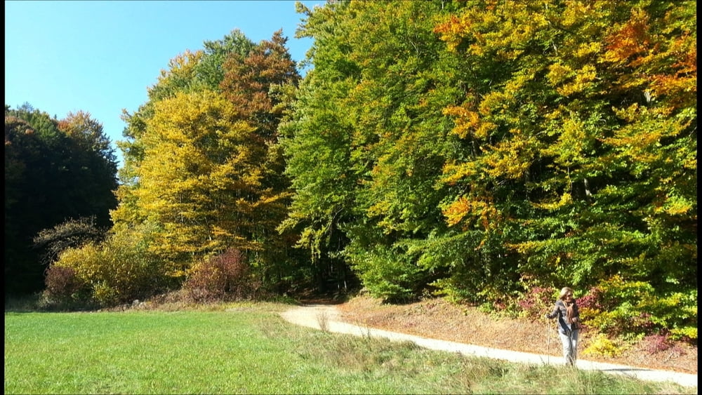
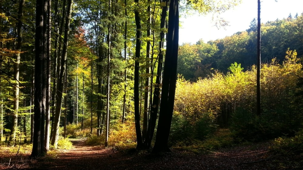
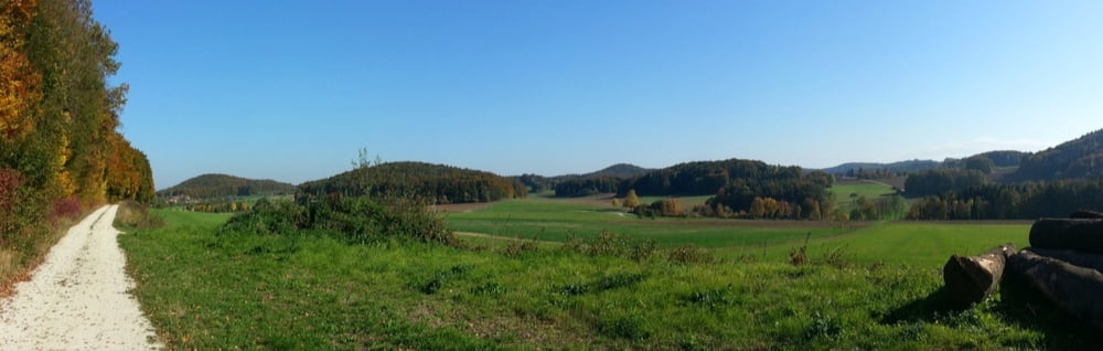
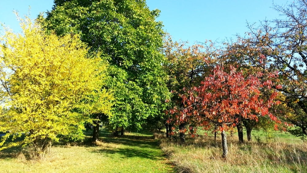
http://www.terrasound.deTour gallery

Tour map and elevation profile
Minimum height 441 m
Maximum height 529 m
More about the tour author
|
|
heinz-57 |
Comments

Von Ebermannstadt kommend am nödlichen Ortsende rechts ab nach Kanndorf.
GPS tracks
Trackpoints-
GPX / Garmin Map Source (gpx) download
-
TCX / Garmin Training Center® (tcx) download
-
CRS / Garmin Training Center® (crs) download
-
Google Earth (kml) download
-
G7ToWin (g7t) download
-
TTQV (trk) download
-
Overlay (ovl) download
-
Fugawi (txt) download
-
Kompass (DAV) Track (tk) download
-
Track data sheet (pdf) download
-
Original file of the author (gpx) download
More about the tour author
|
|
heinz-57 |
Add to my favorites
Remove from my favorites
Edit tags
Open track
My score
Rate