
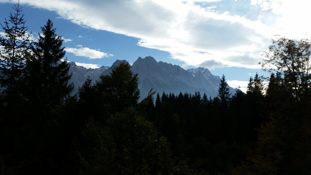

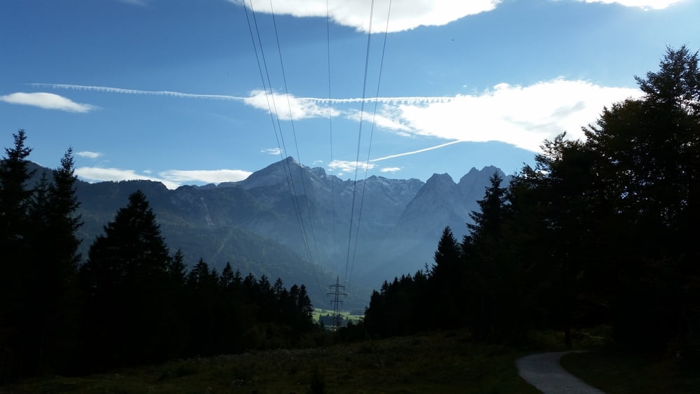
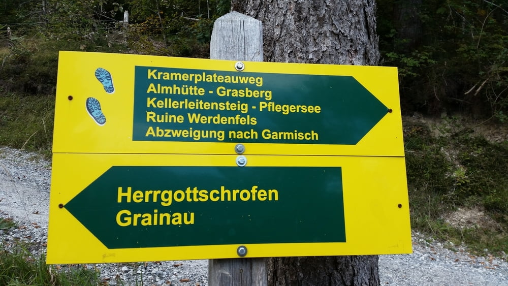
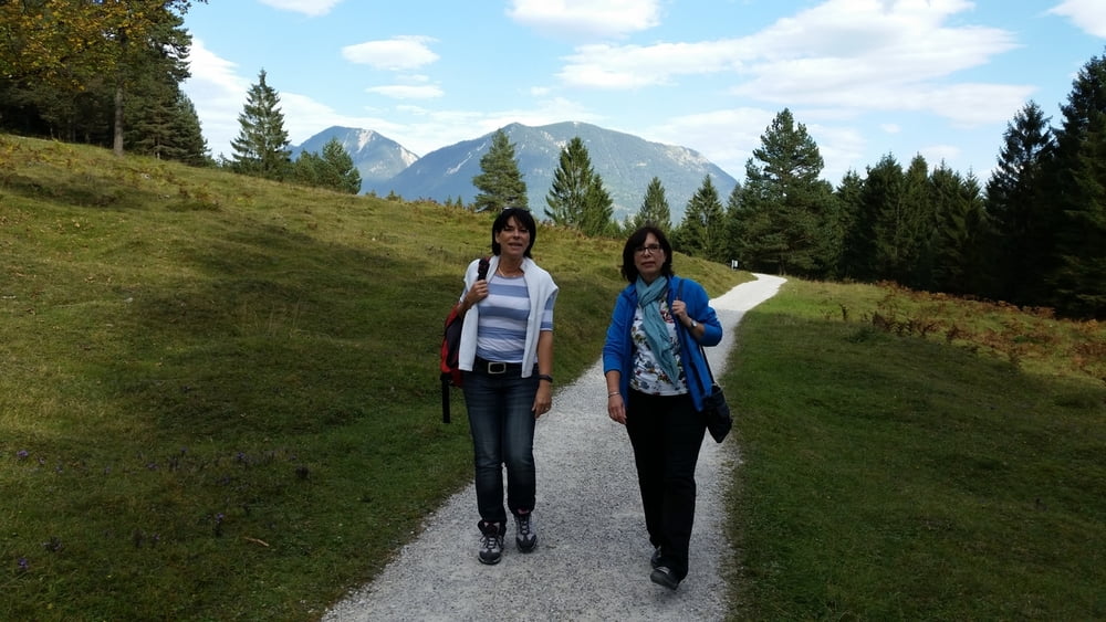
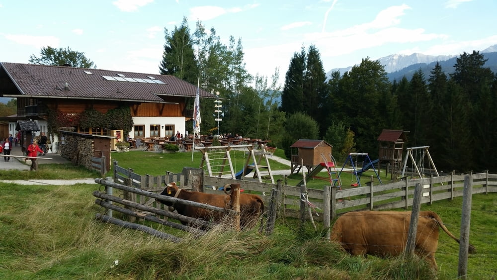
Wir beginnen am Pflegersee und wandern von dort auf dem schönen, parallel zur Fahrstraße und abgesetzt von ihr verlaufenden Wanderweg - Sicht voraus auf Zug- und Alpspitze. Bald treffen wir auf den Kramerplateauweg, der uns weiterführt. Nun geht es nahezu topfeben am Fuße des Kramer entlang. Wir kommen an der Almhütte vorbei , an einer (winterlichen) Wildfütterung, kreuzen zwei Wandersteige, die hinauf zur Stepbergalm führen und landen mit Blick hinunter auf Grainau an einem kleinen Unterstand, von dem aus zur Loisach abgestiegen werden kann.
Tour gallery
Tour map and elevation profile
Minimum height 725 m
Maximum height 849 m
More about the tour author
|
|
Sigi2910 |
Comments

GPS tracks
Trackpoints-
GPX / Garmin Map Source (gpx) download
-
TCX / Garmin Training Center® (tcx) download
-
CRS / Garmin Training Center® (crs) download
-
Google Earth (kml) download
-
G7ToWin (g7t) download
-
TTQV (trk) download
-
Overlay (ovl) download
-
Fugawi (txt) download
-
Kompass (DAV) Track (tk) download
-
Track data sheet (pdf) download
-
Original file of the author (gpx) download
More about the tour author
|
|
Sigi2910 |
Add to my favorites
Remove from my favorites
Edit tags
Open track
My score
Rate