


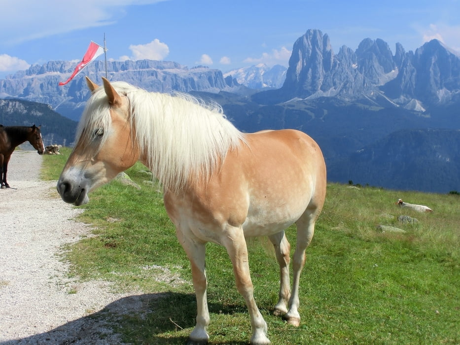
Also, wir wollten eigentlich die "Unter den Geisslern" Tour fahren, die als Gesamtpaket sicherlich noch interessanter, aber technisch schwieriger, ist (siehe Link und auch gps-tour.info), wurden aber von einem mehrstündigen Unwetter an der Raschötzbahn-Bergstation ausgebremst.
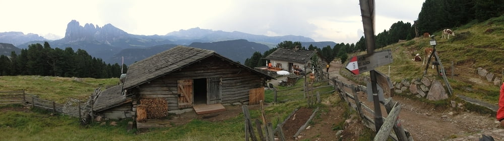
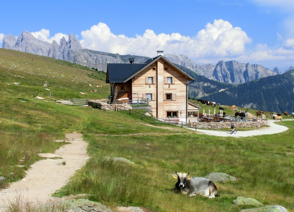
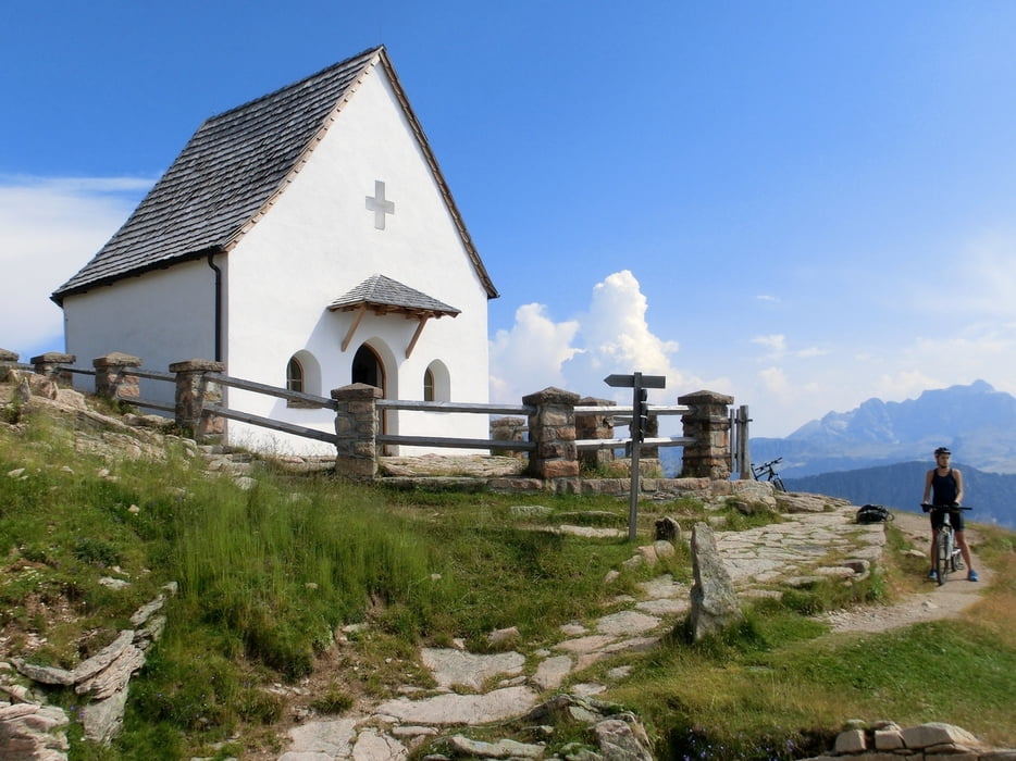
Wie so oft, wurde das Wetter später wieder richtig gut, für die Geissler war es aber zu spät. Auch so bietet die Tour mit dem herrlichen Panoramaweg zur Raschötzhütte und weiter bis zur Heilig-Kreuz-Kapelle landschaftliche und "tierische" Highlights und war den knechtend-masochistischen Aufstieg (1000 hm auf ca. 9 km) von Sankt Ulrich allemal wert. Wer also ordentlich Training auf wenig Kilometer bei satter Natur wünscht und wenig Zeit hat - here you go! ;-)
Further information at
http://www.mtb-dolomites.com/deu/unter_geislern.htmTour gallery
Tour map and elevation profile
Minimum height 1271 m
Maximum height 2200 m
More about the tour author
|
|
mackator |
Comments

Talstation der Fumes-Seceda Seilbahn in Sankt Ulrich.
GPS tracks
Trackpoints-
GPX / Garmin Map Source (gpx) download
-
TCX / Garmin Training Center® (tcx) download
-
CRS / Garmin Training Center® (crs) download
-
Google Earth (kml) download
-
G7ToWin (g7t) download
-
TTQV (trk) download
-
Overlay (ovl) download
-
Fugawi (txt) download
-
Kompass (DAV) Track (tk) download
-
Track data sheet (pdf) download
-
Original file of the author (gpx) download
More about the tour author
|
|
mackator |
Add to my favorites
Remove from my favorites
Edit tags
Open track
My score
Rate