


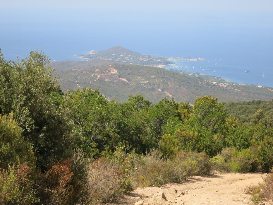
Der Aufstieg erfolgt über die wenig befahrene Nebenstrasse D255a.
In Pietrosella erfolgt der Einstieg auf den Trail links von der Kirche. Der recht gute Weg steigt noch ein wenig an bis auf fast 600m.
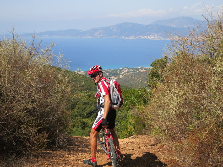
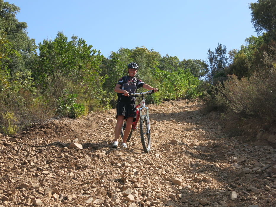
Anschliessend geht es nur noch bergab über zum Teil recht anspruchsvolle technische Teilstücke, welche man aber auch zu Fuss absolvieren kann.
Und immer hat man das Meer vor Augen, wo man nach dem Downhill ein Bad nehmen kann
Tour gallery
Tour map and elevation profile
Minimum height 10 m
Maximum height 525 m
More about the tour author

|
Dietsch1 |
Comments

Südlich von Ajaccio liegt Molini in der Bucht von Albitreccia.
Das Auto kann man überall dem Strand entlang parkieren
GPS tracks
Trackpoints-
GPX / Garmin Map Source (gpx) download
-
TCX / Garmin Training Center® (tcx) download
-
CRS / Garmin Training Center® (crs) download
-
Google Earth (kml) download
-
G7ToWin (g7t) download
-
TTQV (trk) download
-
Overlay (ovl) download
-
Fugawi (txt) download
-
Kompass (DAV) Track (tk) download
-
Track data sheet (pdf) download
-
Original file of the author (gpx) download
More about the tour author
|
|
Dietsch1 |
Add to my favorites
Remove from my favorites
Edit tags
Open track
My score
Rate