Login

Forgot your login?

Cookies have to be accepted!
Your browser's cookie functionality is disabled. Please enable this functionality.

Not a member yet?

Register now
Login

Available for registred users only

Log in to use this feature.

Forgot your login?

Cookies have to be accepted!
Your browser's cookie functionality is disabled. Please enable this functionality.

Not a member yet?

Register now
Filter
Categories
Advanced filters
  • Distance (km)
  • Height
Save filters Reset filter

TrackRank

QRCode

Technical data

Distance5,3 km Height132 m Way down143 m Duration01:20 h:m Date25.10.2015
Scores Author Landscape Fun factor Fitness Technique

Statistics

537 Views Scores 20 Downloads Average
Rate
  • Track data sheet
  • Directions
  • Downloads

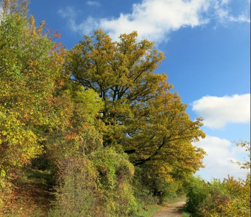
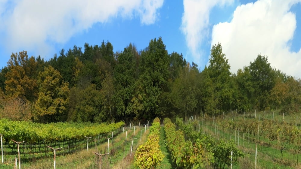
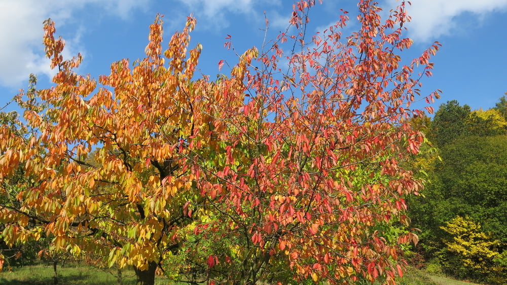
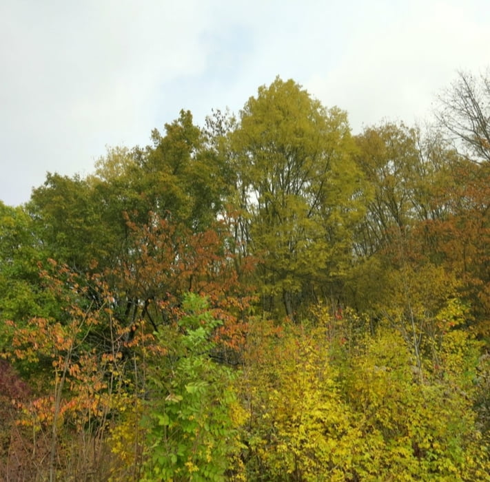
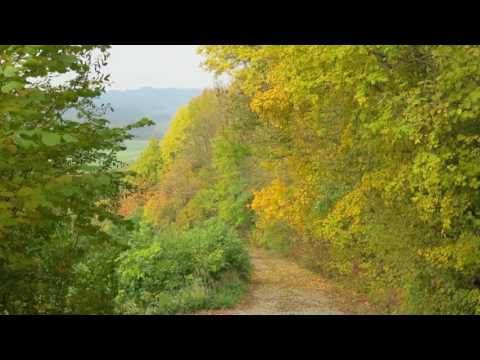
Kleiner Genuss- Spaziergang unterhalb des Eberhardsberges als Rundwanderung bei herrlicher Herbstfärbung...

HINWEIS zum Video:

Mit Mozilla Firefox und Flash- Player Plugin startet das Video direkt.

Andernfalls verwendet ihr in eurem Browser den Link:

https://youtu.be/miJm3NY-BR0


Tour gallery

Tour map and elevation profile

  • Open Street Map
  • Google
Minimum height 433 m Maximum height 549 m Detailed view

More about the tour author

heinz-57
Member since 2009

Send private message

Comments

Von Nürnberg oder Gräfenberg kommend in Igensdorf abbiegen nach Kunreuth. Kurz vor Ortsende an Kreuzung rechts auf "Eberhardbergstraße" zum Parkplatz am Kriegerdenkmal.

GPS tracks

Trackpoints
  • GPX / Garmin Map Source (gpx) download
  • TCX / Garmin Training Center® (tcx) download
  • CRS / Garmin Training Center® (crs) download
  • Google Earth (kml) download
  • G7ToWin (g7t) download
  • TTQV (trk) download
  • Overlay (ovl) download
  • Fugawi (txt) download
  • Kompass (DAV) Track (tk) download
  • Track data sheet (pdf) download
  • Original file of the author (gpx) download

More about the tour author

heinz-57
Member since 2009

Send private message
Share track
Add to my favorites
Remove from my favorites
Edit tags
My score
Rate
Track: Wandern Franken: Herbstimpressionen bei Igensdorf, Kreis Forchheim
Type: Hiking
Distance: 5,3 km
Evaluated on:
Duration:
Day(s)
Hour(s)
Minute(s)
Score: Landscape Fun factor Fitness Technique