
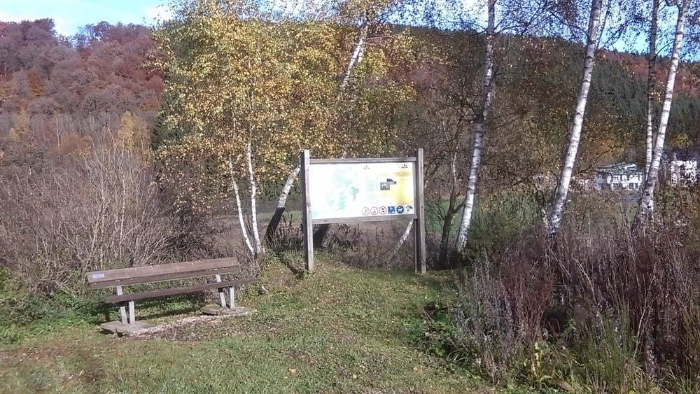

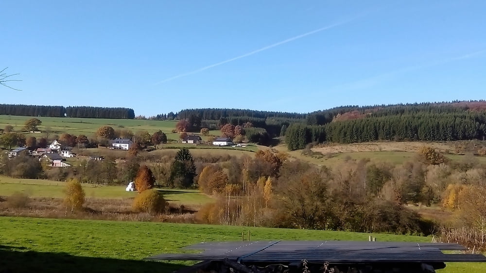
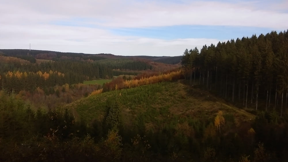
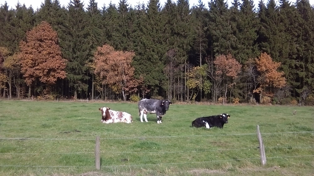
Die Wanderung geht von Schönberg-Zur Alten Schmiede Richtung Bolscheid. durch den Bolscheider-Wald nach Setz , wo ich die Srasse überquere.Dann wandere ich Richtung Eiterbach, nach in der Eiterbach orientiere ich mich dann links in den Wald Richtung Antoniusbaum .Danach wandere ich Richtung Mooshäuschen von wo aus dann auf den Ravelweg komme. Ich folge dann dem Ravelweg bis nach Sankt-Vith; Angekommen in St-Vith gehe an der Kirche vorbei bis Centrum,wo ich mir dann ein gutes Wiehnachtsbier genehmigt habe.
Further information at
http://www.zuraltenschmiede.beTour gallery

Tour map and elevation profile
Minimum height 355 m
Maximum height 526 m
More about the tour author
|
|
Wanderfrosch1960 |
Comments

GPS tracks
Trackpoints-
GPX / Garmin Map Source (gpx) download
-
TCX / Garmin Training Center® (tcx) download
-
CRS / Garmin Training Center® (crs) download
-
Google Earth (kml) download
-
G7ToWin (g7t) download
-
TTQV (trk) download
-
Overlay (ovl) download
-
Fugawi (txt) download
-
Kompass (DAV) Track (tk) download
-
Track data sheet (pdf) download
-
Original file of the author (gpx) download
More about the tour author
|
|
Wanderfrosch1960 |
Add to my favorites
Remove from my favorites
Edit tags
Open track
My score
Rate