Login

Forgot your login?

Cookies have to be accepted!
Your browser's cookie functionality is disabled. Please enable this functionality.

Not a member yet?

Register now
Login

Available for registred users only

Log in to use this feature.

Forgot your login?

Cookies have to be accepted!
Your browser's cookie functionality is disabled. Please enable this functionality.

Not a member yet?

Register now
Filter
Categories
Advanced filters
  • Distance (km)
  • Height
Save filters Reset filter

TrackRank

QRCode

Technical data

Distance89,9 km Height3995 m Way down3824 m Duration5 days 0 h Date05.11.2015
Scores Author Landscape Fun factor Fitness Technique

Statistics

712 Views Scores 18 Downloads Average
Rate
  • Track data sheet
  • Directions
  • Downloads

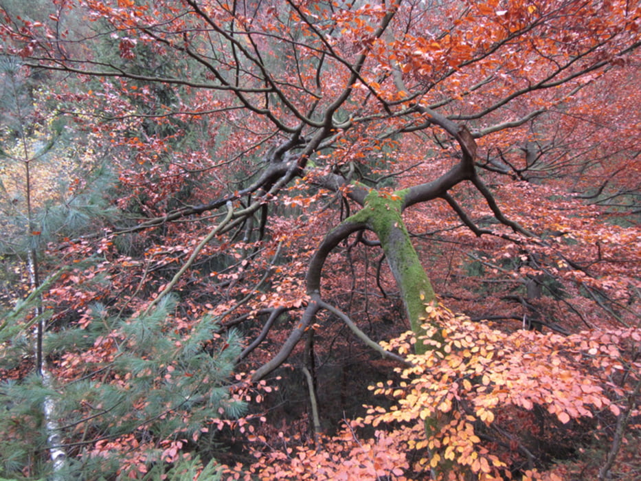
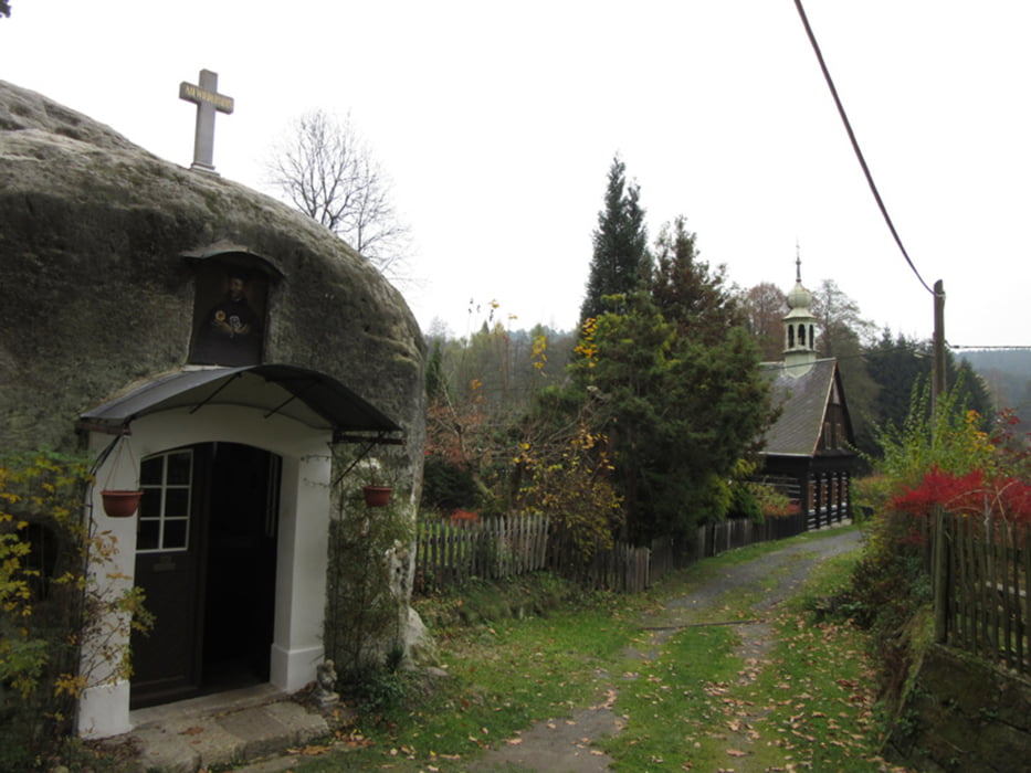
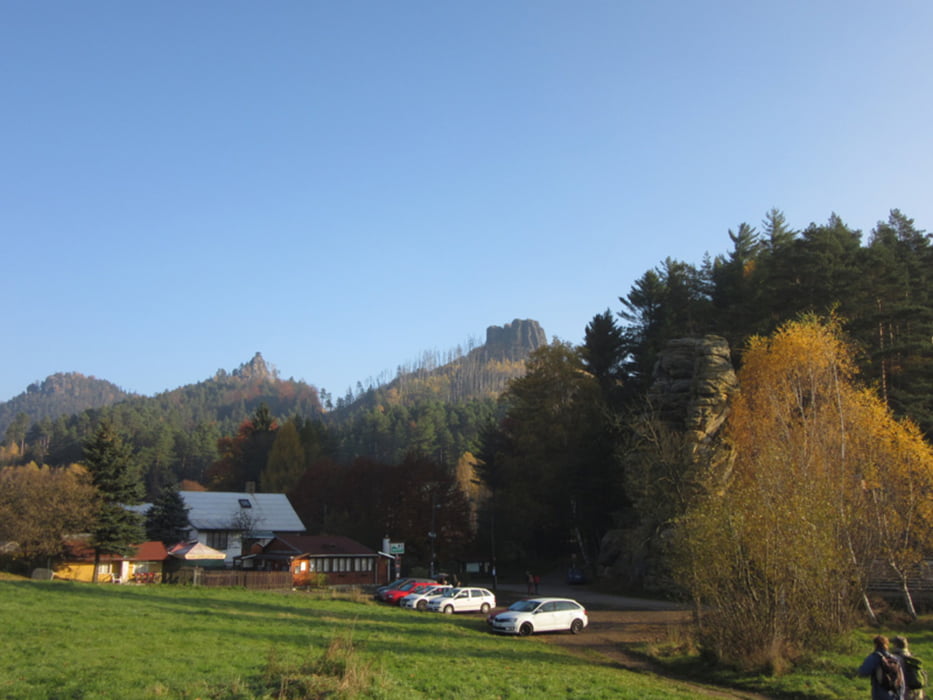
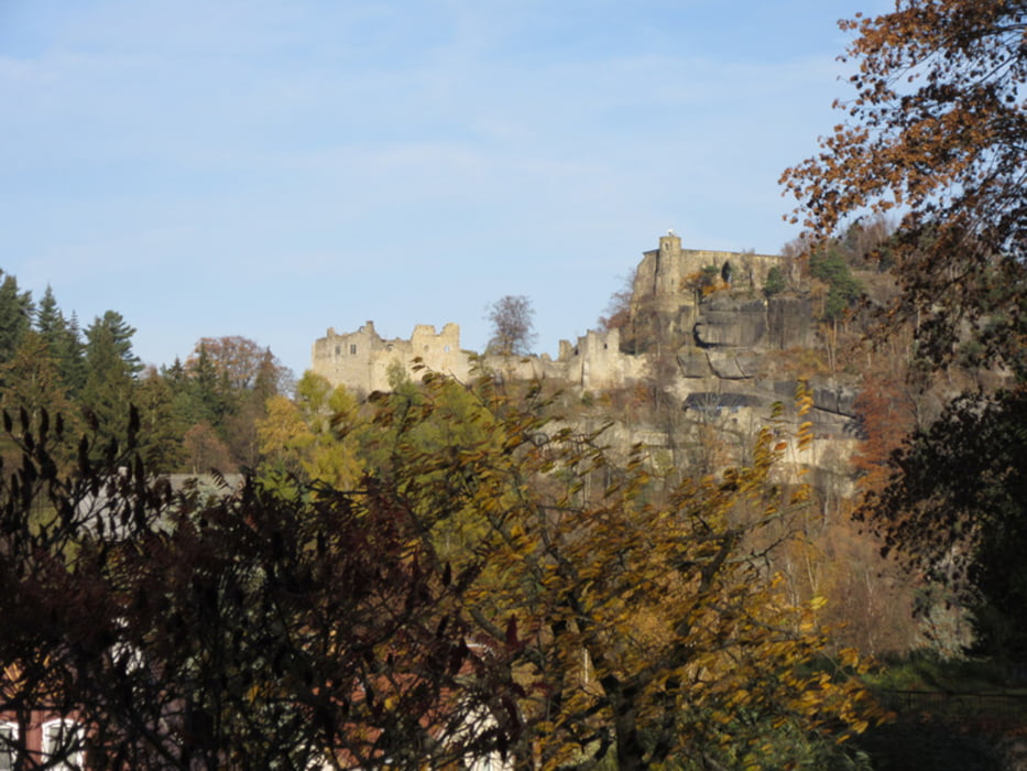
Von Hrensko zum Prebischtor, weiter nach Mezni Louka. Auch die beiden Folgetage grau in grau - nach Jetrichov und dort in der Umgebung. Dann in strahlendem Sonnenschein weitgehend dem Europäischen Fernwanderweg E3 folgend nach Jiretin. Die Abschlußetappe durchs Zittauer Gebirge - Lausche, Oybin.


Tour gallery

Tour map and elevation profile

  • Open Street Map
  • Google
Minimum height 232 m Maximum height 847 m Detailed view

More about the tour author

xxrhahn
Member since 2011

Send private message

Comments

mit Schiff oder Bus bis Hrensko oder mit der Bahn bis Schöna

ab Oybin mit Bus oder Schmalspurbahn bis Zittau, von dort mit der Bahn nach Dresden

GPS tracks

Trackpoints
  • GPX / Garmin Map Source (gpx) download
  • TCX / Garmin Training Center® (tcx) download
  • CRS / Garmin Training Center® (crs) download
  • Google Earth (kml) download
  • G7ToWin (g7t) download
  • TTQV (trk) download
  • Overlay (ovl) download
  • Fugawi (txt) download
  • Kompass (DAV) Track (tk) download
  • Track data sheet (pdf) download
  • Original file of the author (gpx) download

More about the tour author

xxrhahn
Member since 2011

Send private message
Share track
Add to my favorites
Remove from my favorites
Edit tags
My score
Rate
Track: Böhmische Schweiz - Lausitzer Gebirge - Zittauer Gebirge
Type: Hiking
Distance: 89,9 km
Evaluated on:
Duration:
Day(s)
Hour(s)
Minute(s)
Score: Landscape Fun factor Fitness Technique