


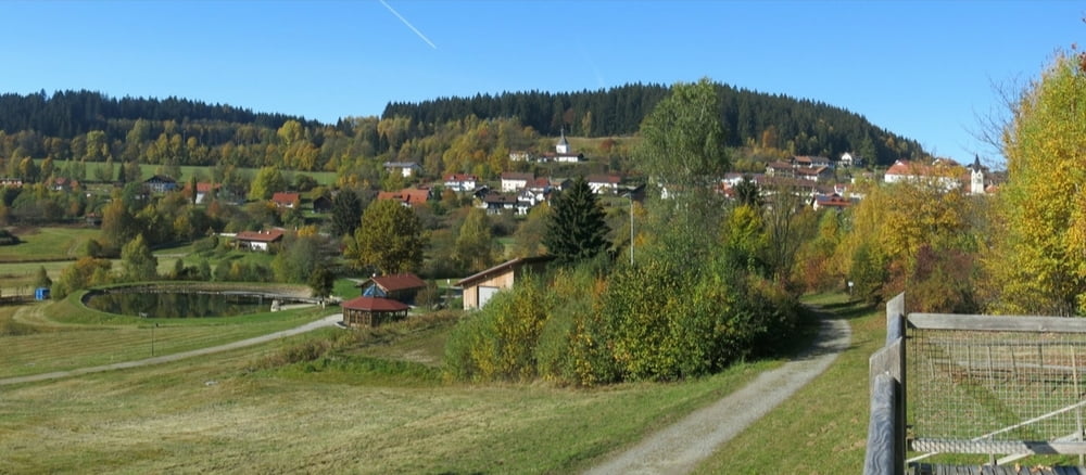
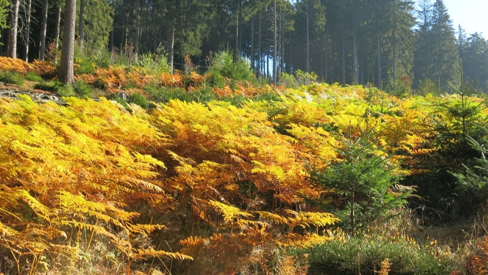
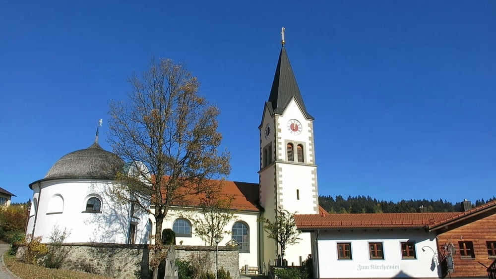
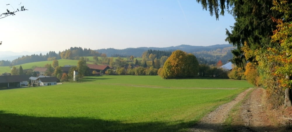
Vom Hotel Richtung St. Englmar, am Ortsende rechts aufwärts; bald in den Wald hinein und über Glashütt nach St. Englmar. Wir gehen zur Kirche und hinter der Kirche durch den Ort aufwärts über eine Appartment- Siedlung zur Straße am Predigtstuhl. Rechts ab, am Waldrand nach rechts weiter und nach Glashütt. Auf dem Herweg zurück; wenn es aus dem Wald herausgeht, wenden wir uns nach links und gehen über den Loderwinkel nach Rettenbach zurück.
HINWEIS zum Video:
Mit Mozilla Firefox und Flash- Player Plugin startet das Video direkt.
Andernfalls verwendet ihr in eurem Browser den Link:
https://www.google.de/#q=rW72lppQDg8
Tour gallery

Tour map and elevation profile
Minimum height 720 m
Maximum height 922 m
More about the tour author
|
|
heinz-57 |
Comments

Von St. Englmar kommend nach Rettenbach, am Ortsende beim Hotel "Schmelmerhof" Parkmöglichkeit.
GPS tracks
Trackpoints-
GPX / Garmin Map Source (gpx) download
-
TCX / Garmin Training Center® (tcx) download
-
CRS / Garmin Training Center® (crs) download
-
Google Earth (kml) download
-
G7ToWin (g7t) download
-
TTQV (trk) download
-
Overlay (ovl) download
-
Fugawi (txt) download
-
Kompass (DAV) Track (tk) download
-
Track data sheet (pdf) download
-
Original file of the author (gpx) download
More about the tour author
|
|
heinz-57 |
Add to my favorites
Remove from my favorites
Edit tags
Open track
My score
Rate