


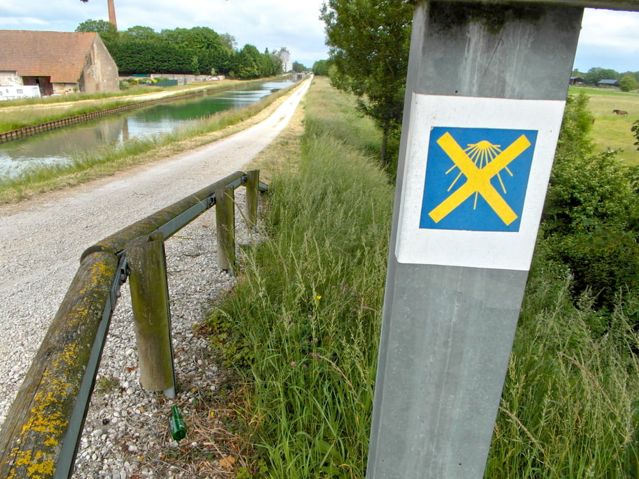
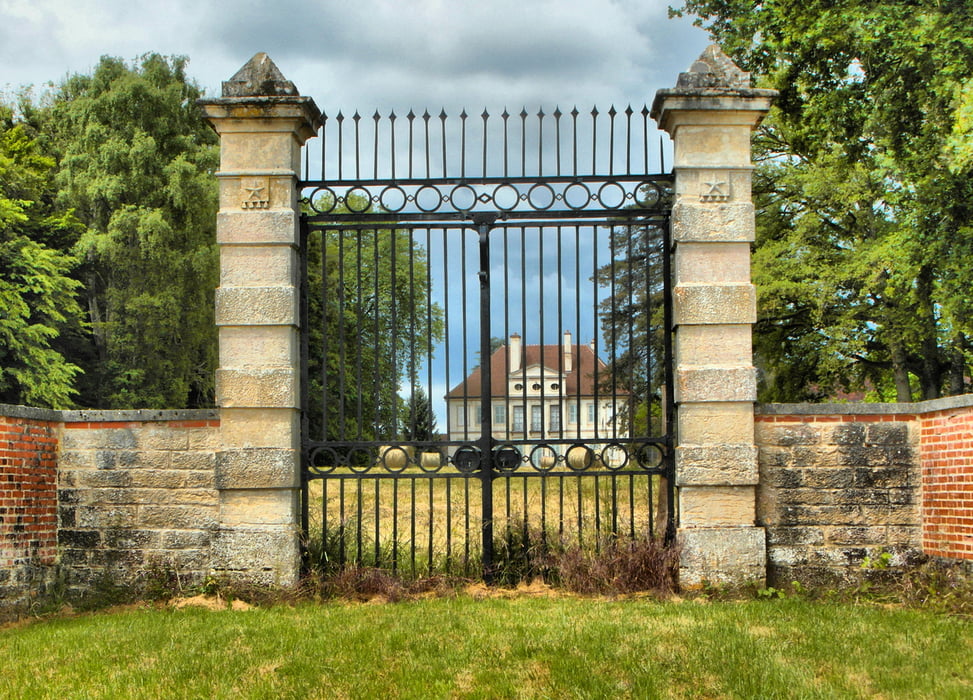
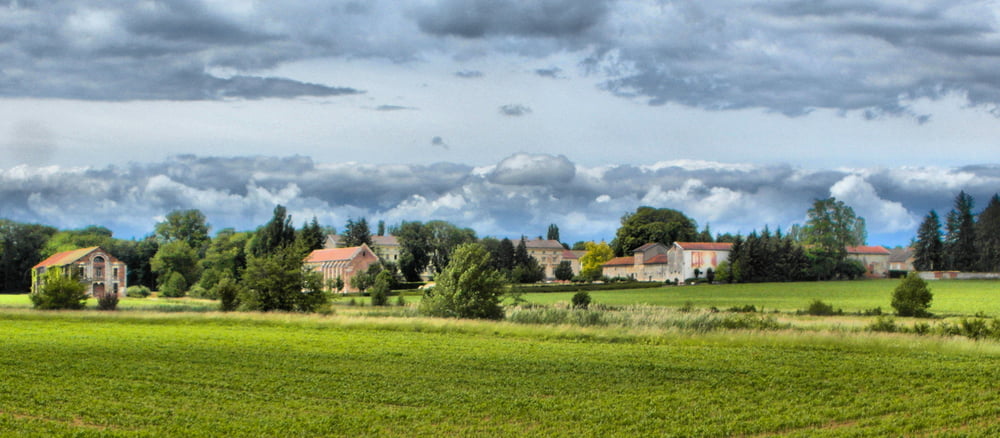
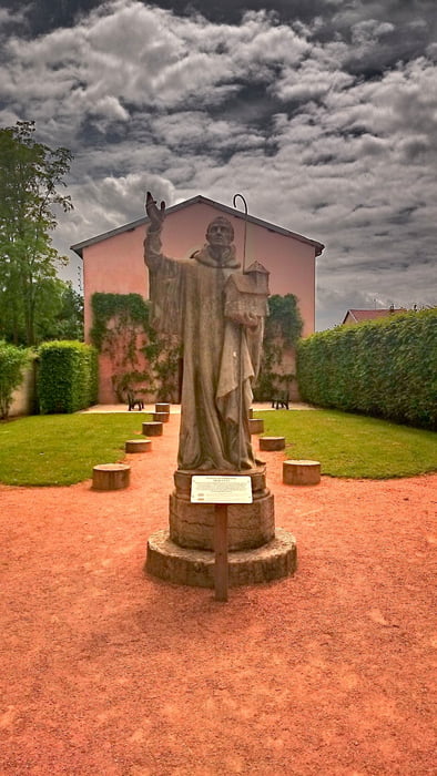
Jakobsweg von Losne zum Kloster Cîteaux
Etappe danach
- Höhepunkt auf dem Weg ist sicherlich das Kloster Citaux
- Wer nicht über Nuits-Saint-Georges gehen möchte, kann schon ca. 2 Kilometer zuvor, nach dem Weiher (Etang de Saule) links in den Wald abbiegen und direkt nach Argilly und Beaune pilgern.
Viel Spaß beim entdecken
Further information at
http://www.st-jacques-bourgogne.org/Tour gallery
Tour map and elevation profile
Minimum height 177 m
Maximum height 215 m
More about the tour author
|
|
Rezatfisch |
Comments

Jakobsweg von Losne zum Kloster Cîteaux
Etappe danach
- Höhepunkt auf dem Weg ist sicherlich das Kloster Citaux
- Wer nicht über Nuits-Saint-Georges gehen möchte, kann schon ca. 2 Kilometer zuvor, nach dem Weiher (Etang de Saule) links in den Wald abbiegen und direkt nach Argilly und Beaune pilgern.
Viel Spaß beim entdecken
GPS tracks
Trackpoints-
GPX / Garmin Map Source (gpx) download
-
TCX / Garmin Training Center® (tcx) download
-
CRS / Garmin Training Center® (crs) download
-
Google Earth (kml) download
-
G7ToWin (g7t) download
-
TTQV (trk) download
-
Overlay (ovl) download
-
Fugawi (txt) download
-
Kompass (DAV) Track (tk) download
-
Track data sheet (pdf) download
-
Original file of the author (gpx) download
More about the tour author
|
|
Rezatfisch |
Add to my favorites
Remove from my favorites
Edit tags
Open track
My score
Rate