


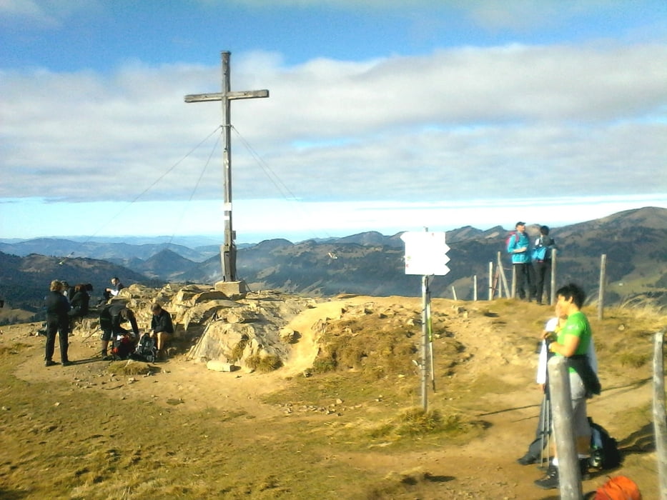
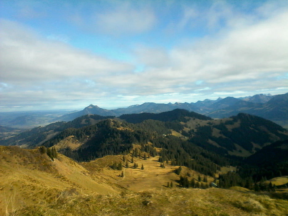
Bergwanderung von der Grasgehrenhütte( 1447) auf das Riedberger Horn( 1787). Hier gibts Ausblicke vom Grünten, Hoher Ifen die gesamte Nagelfluhkette bis zum Bregenzerwald. Der Abstieg geht erst Richtung Balderschwang dann zur Oberen Mittelalpe (1374) und zurück zur Grasgehrenhütte.
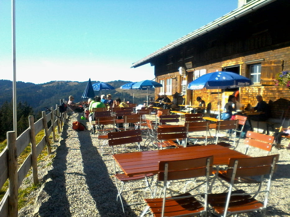
Einkehrmöglichkeit gibts (bis Anfang Nov.) in der Oberen Mittelalpe und Grasgehrenhütte.
Further information at
http://www.berghuette-grasgehren.deTour gallery
Tour map and elevation profile
Minimum height 1352 m
Maximum height 1781 m
More about the tour author
|
|
Bockrider |
Comments

Von Oberstdorf oder Balderschwang zum Riedbergpass nach Grasgehren. Parken (kostenlos) bei den Skiliften Grasgehren.
GPS tracks
Trackpoints-
GPX / Garmin Map Source (gpx) download
-
TCX / Garmin Training Center® (tcx) download
-
CRS / Garmin Training Center® (crs) download
-
Google Earth (kml) download
-
G7ToWin (g7t) download
-
TTQV (trk) download
-
Overlay (ovl) download
-
Fugawi (txt) download
-
Kompass (DAV) Track (tk) download
-
Track data sheet (pdf) download
-
Original file of the author (gpx) download
More about the tour author
|
|
Bockrider |
Add to my favorites
Remove from my favorites
Edit tags
Open track
My score
Rate