
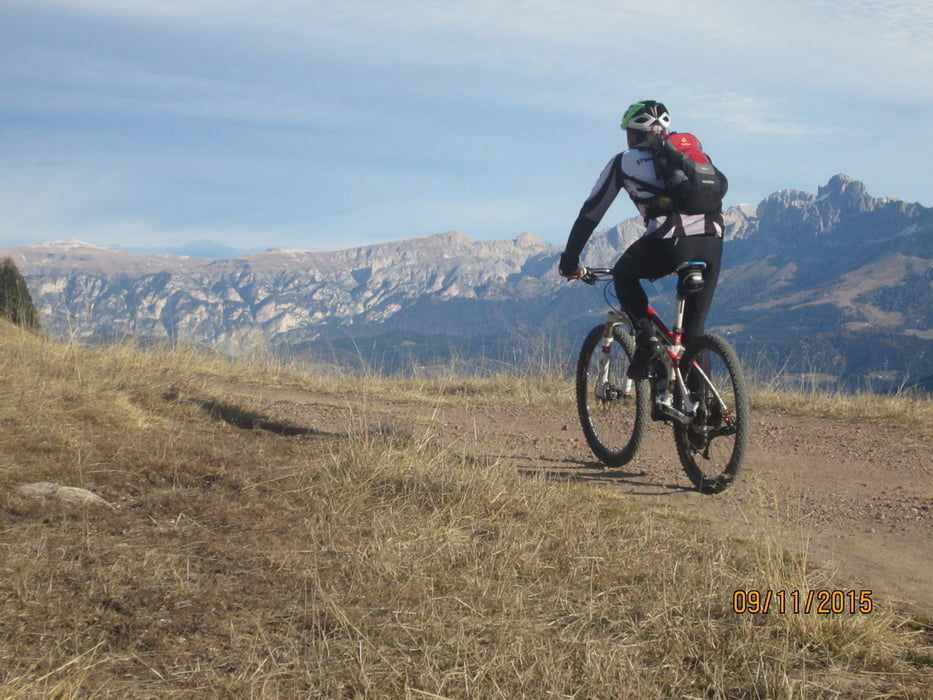

- Start/Ziel: Deutschenofen/Dorfzentrum
- Fahrtrichtung: Im Uhrzeigersinn - Rundkurs
- Beschaffenheit Untergrund: Asphalt 30% - Forstweg 55% - Wiesenweg 20%
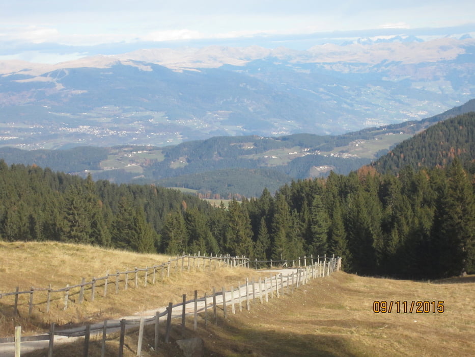
Von Deutschenofen auf Teer- bzw. Forstweg richtung Laabalm (kurze Abschnitte etwas steil 18%). Weiter zur "Neuhütt-Alm"; Auerleger-Alm, bis zum Jochgrimm (1.990 MH.)
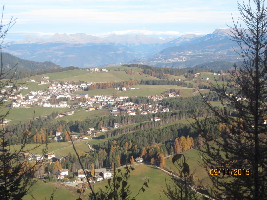
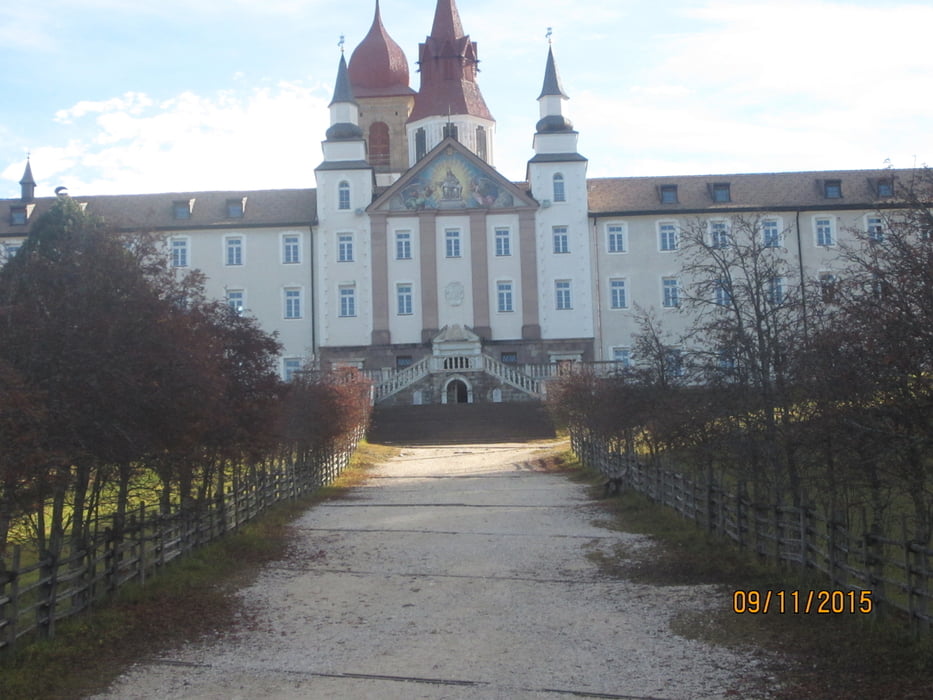
Abfahrt auf gerölligem Karren-, bzw. Wiesen- u. Forstweg zur imposanten Wallfahrtskirche "Maria Weissenstein". Weiter, zurück zum Ausgangspunkt, nach Deutschenofen
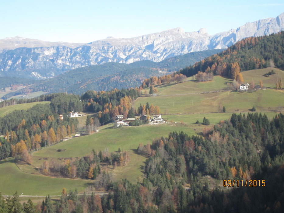
Tour gallery
Tour map and elevation profile
Minimum height 1201 m
Maximum height 2005 m
More about the tour author
|
|
MargesinFriedrich |
Comments

GPS tracks
Trackpoints-
GPX / Garmin Map Source (gpx) download
-
TCX / Garmin Training Center® (tcx) download
-
CRS / Garmin Training Center® (crs) download
-
Google Earth (kml) download
-
G7ToWin (g7t) download
-
TTQV (trk) download
-
Overlay (ovl) download
-
Fugawi (txt) download
-
Kompass (DAV) Track (tk) download
-
Track data sheet (pdf) download
-
Original file of the author (gpx) download
More about the tour author
|
|
MargesinFriedrich |
Add to my favorites
Remove from my favorites
Edit tags
Open track
My score
Rate