


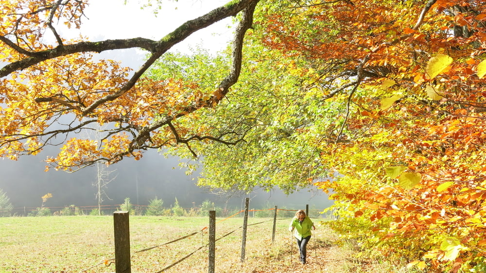
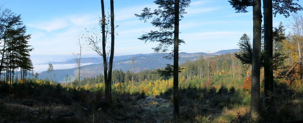
Vom Hotel nach links mit "9" kurz auf Straße abwärts, nach Brücke links auf bis Kloster Kostenz. Kurz auf Straße weiter, am Waldrand links weiter aufwärts zu Querweg. Rechts auf Forstweg bis kurz vor Straße. Nach links wendend im Wald ansteigend bis Waldkreuzung. Wir gehen nach links ohne Markierung unterhalb des "Schopf" weiter. An Querweg links neben Bächlein eben dahin zum idyllischen "Grimmeisenweiher". Auf der Forststraße weiter, an Querweg mit "8" links, bald folgen wir rechts dem Wegweiser "Rettenbach" zurück zum Hotel.
HINWEIS zum Video:
Mit Mozilla Firefox und Flash- Player Plugin startet das Video direkt.
Andernfalls verwendet ihr in eurem Browser den Link:
https://www.google.de/#q=hMEbgW-a6wM
Further information at
http://www.jamendo.comTour gallery

Tour map and elevation profile
Minimum height 663 m
Maximum height 888 m
More about the tour author
|
|
heinz-57 |
Comments

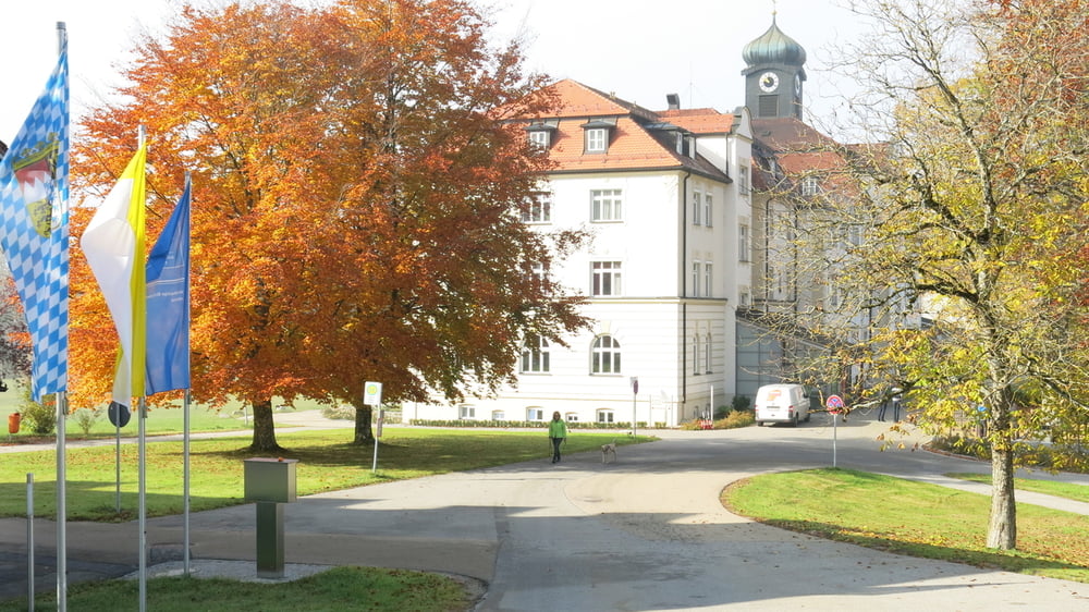
Von St. Englmar nach Rettenbach; am Ortsende beim Hotel "Schmelmerhof" Parkmöglichkeit
GPS tracks
Trackpoints-
GPX / Garmin Map Source (gpx) download
-
TCX / Garmin Training Center® (tcx) download
-
CRS / Garmin Training Center® (crs) download
-
Google Earth (kml) download
-
G7ToWin (g7t) download
-
TTQV (trk) download
-
Overlay (ovl) download
-
Fugawi (txt) download
-
Kompass (DAV) Track (tk) download
-
Track data sheet (pdf) download
-
Original file of the author (gpx) download
More about the tour author
|
|
heinz-57 |
Add to my favorites
Remove from my favorites
Edit tags
Open track
My score
Rate