

Wir wollten nicht mit dem Auto nach Karlstein und dort starten sondern sind ab Prag Troja durch die City, nach einem ordentlichen Frühstück weiter an der Moldau rüber in Richtung Karlstein.
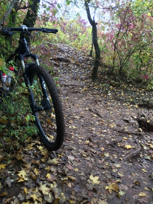
Wenn man es bis Cernositz geschafft hat ist man ca. 25 Km flach gekurbelt und somit sehr gut für die folgenden Singletrails aufgewärmt.
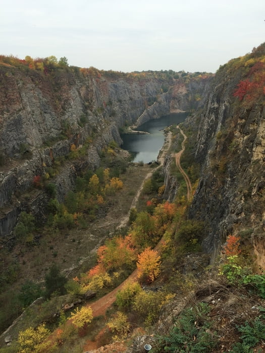
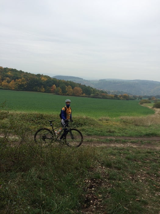
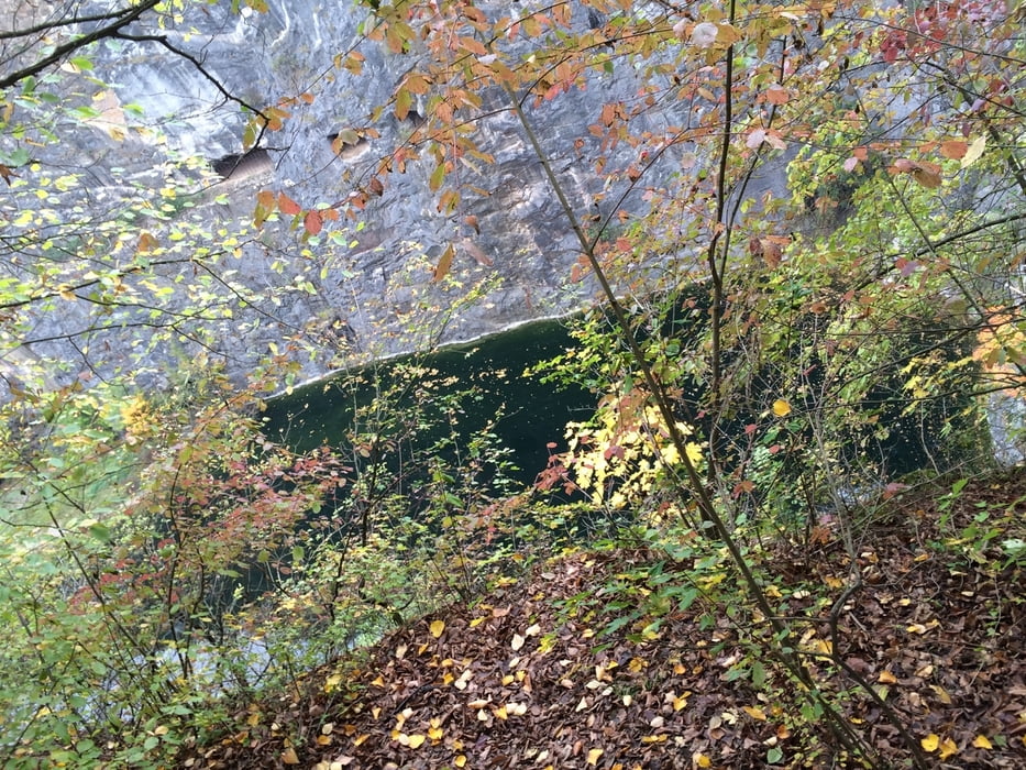
Es geht durch ein herrliches Landschaftsschutzgebiet, meist über Singletrails zur Burg Kalstein, dann weiter über Wiesen und Wälder bis nach „Mala America“ , einem herrlichen Canyon. Zurück sind wir wieder über Forstwege gefahren und plötzlich in einem MTB Timetrail- Rennen gelandet. Wir haben uns kurzerhand angeschlossen und sind ein Stück mit gefahren. Zurück geht’s dann wieder flach an der Moldau bis Praha, wo wir uns noch einen Cappu und ein Pivo schmecken lassen haben.
Herrliche Tour ,- hat viel Spaß gemacht.
Tour gallery
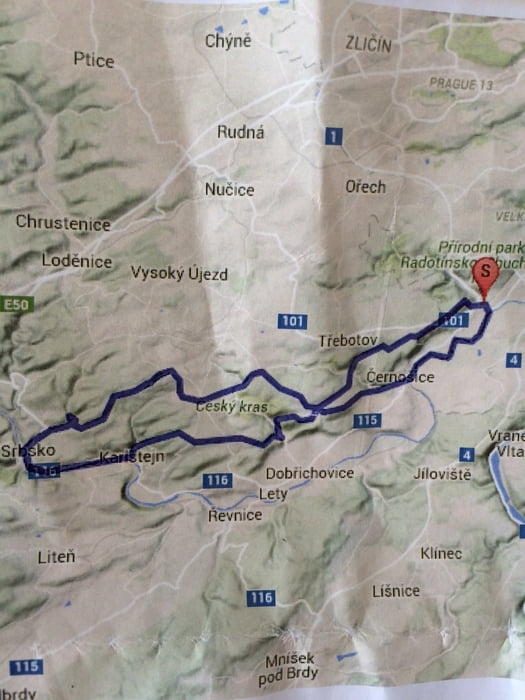
Tour map and elevation profile
Minimum height 139 m
Maximum height 411 m
More about the tour author
|
|
UweEibel |
Comments

Ab Prag Mitte oder direkt mit dem Auto nach Karlstein und von dort aus in die Tour einsteigen
GPS tracks
Trackpoints-
GPX / Garmin Map Source (gpx) download
-
TCX / Garmin Training Center® (tcx) download
-
CRS / Garmin Training Center® (crs) download
-
Google Earth (kml) download
-
G7ToWin (g7t) download
-
TTQV (trk) download
-
Overlay (ovl) download
-
Fugawi (txt) download
-
Kompass (DAV) Track (tk) download
-
Track data sheet (pdf) download
-
Original file of the author (gpx) download
More about the tour author
|
|
UweEibel |
Add to my favorites
Remove from my favorites
Edit tags
Open track
My score
Rate