
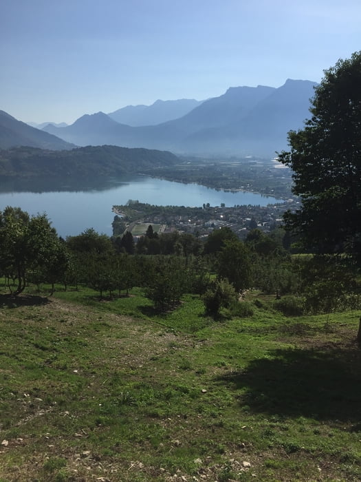

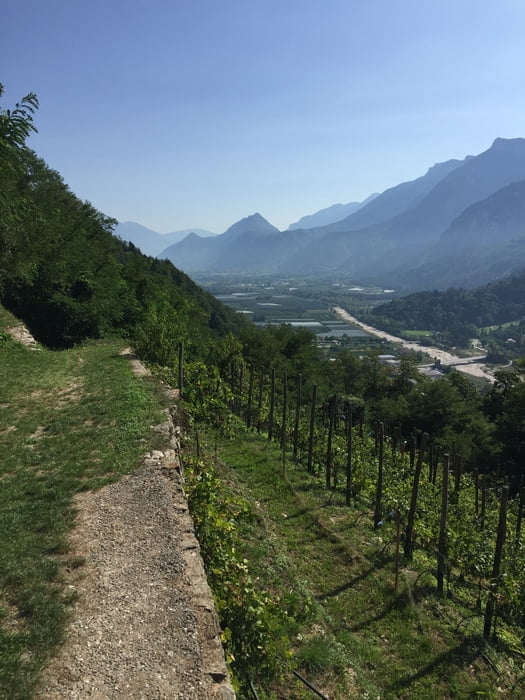
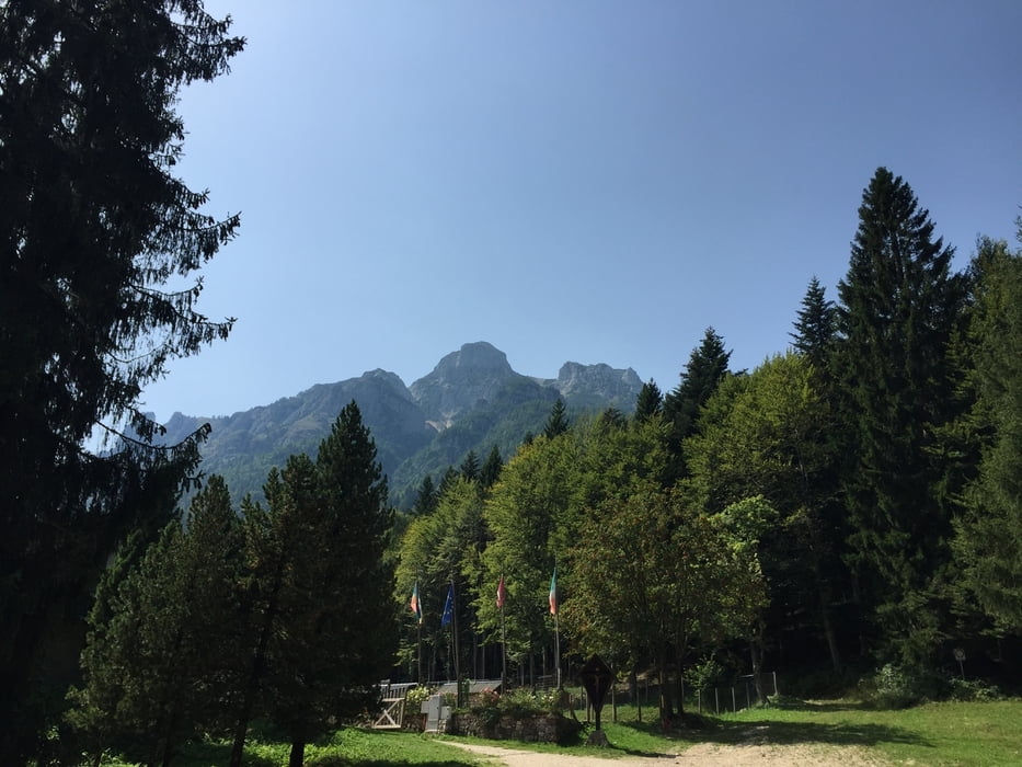
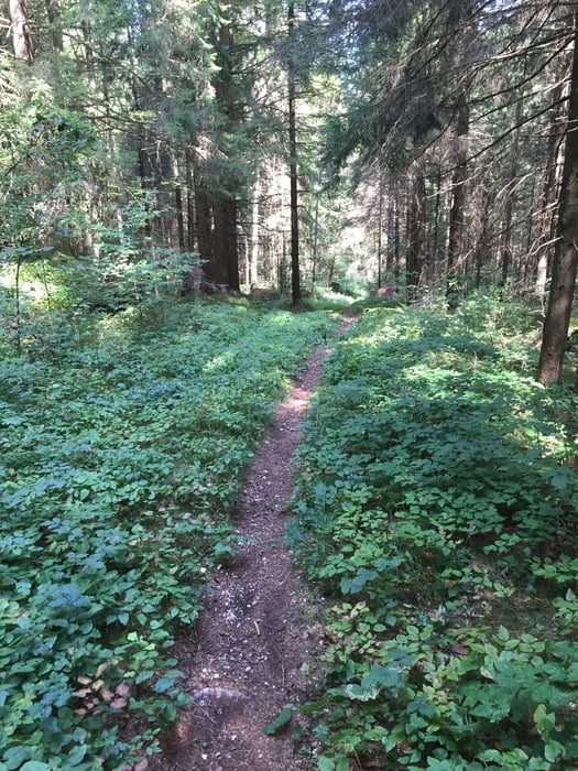
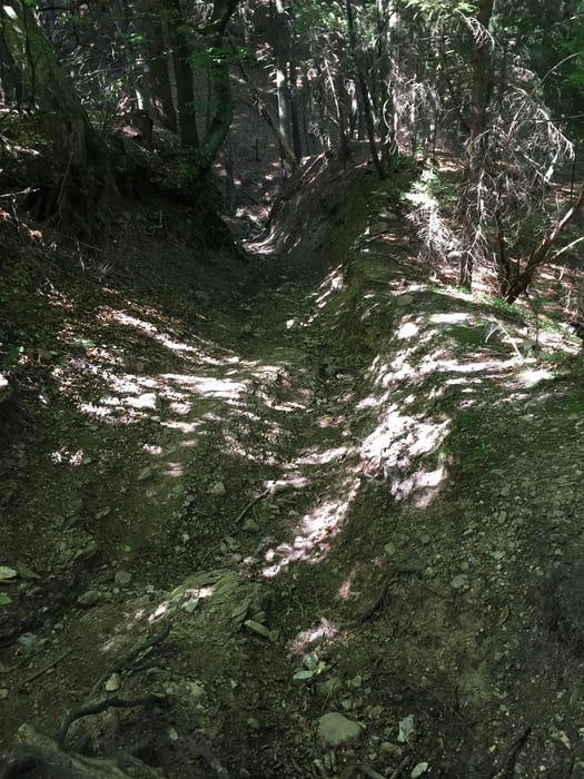
Wir starten in San Cristofero und fahren auf Teer bis in die masi alti (höher gelegene Dörfer). Im Herbst kann man dort Kastanien sammeln. Von dort fahren wir zum Teil auf Single Trail zum Teil auf Teer Richtung Bosentino und über Vattaro nach Campregehri. Ein wunderschöner Trail führt uns bergab an Obstwiesen und Weinbergen nach Caldonazzo. Von dort gelangen wir über Teer nach Pian dei Pradi und weiter über Schotter zum Rif. Paludai. Frisch gestärkt geht es einen interessanten Weg bergab: Zuerst Schotter und dann rechts flowiger Waldtrail (im Juni findet dort ein Berglauf statt). Von Vigolo Vattaro zieht sich ein Waldweg den letzten Anstieg bis auf 1200 Meter. Danach erfolgt ein Trail bergab zuerst rel. breit über Malga Susa, danach technsich anspruchsvoll bis Susa!
Tour gallery
Tour map and elevation profile
Minimum height 451 m
Maximum height 1194 m
More about the tour author

|
dottore66 |
Comments

GPS tracks
Trackpoints-
GPX / Garmin Map Source (gpx) download
-
TCX / Garmin Training Center® (tcx) download
-
CRS / Garmin Training Center® (crs) download
-
Google Earth (kml) download
-
G7ToWin (g7t) download
-
TTQV (trk) download
-
Overlay (ovl) download
-
Fugawi (txt) download
-
Kompass (DAV) Track (tk) download
-
Track data sheet (pdf) download
-
Original file of the author (gpx) download
More about the tour author
|
|
dottore66 |
Add to my favorites
Remove from my favorites
Edit tags
Open track
My score
Rate