
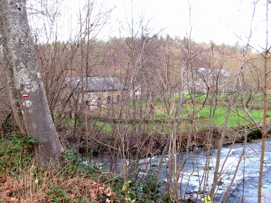

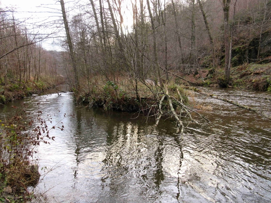
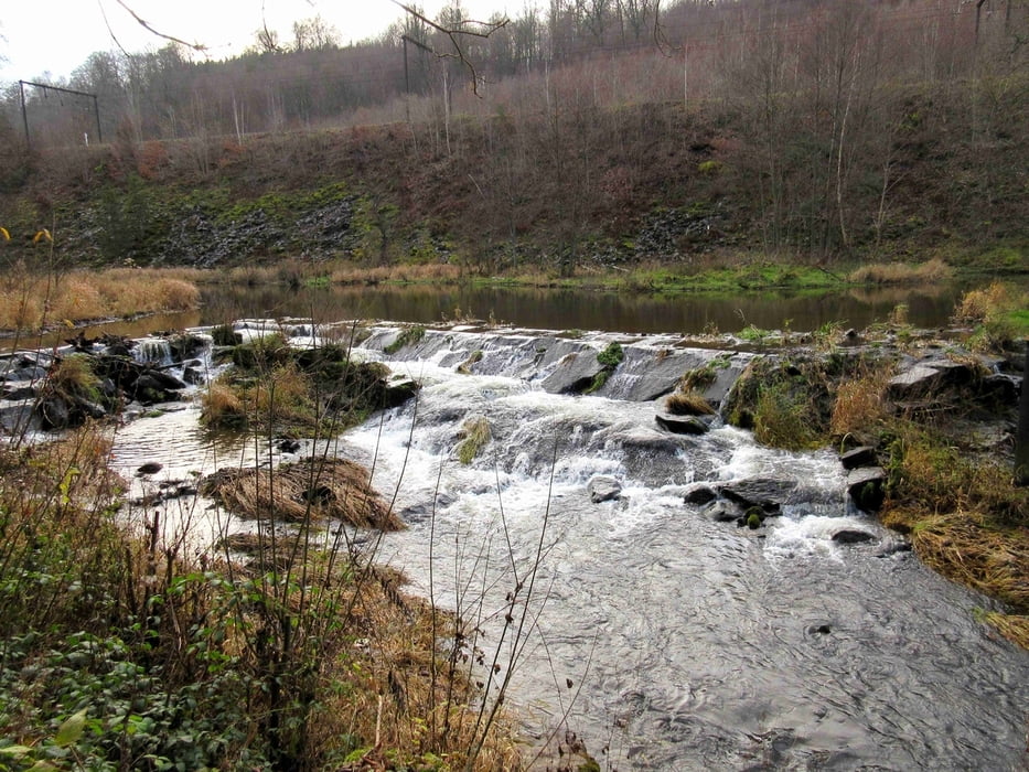
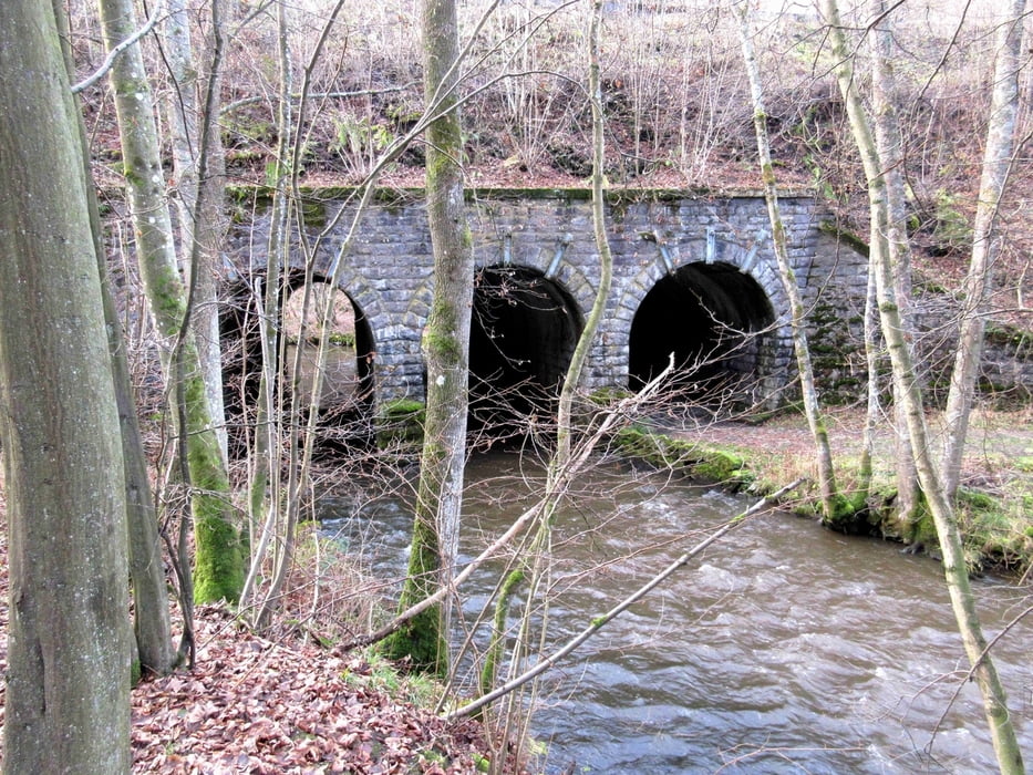
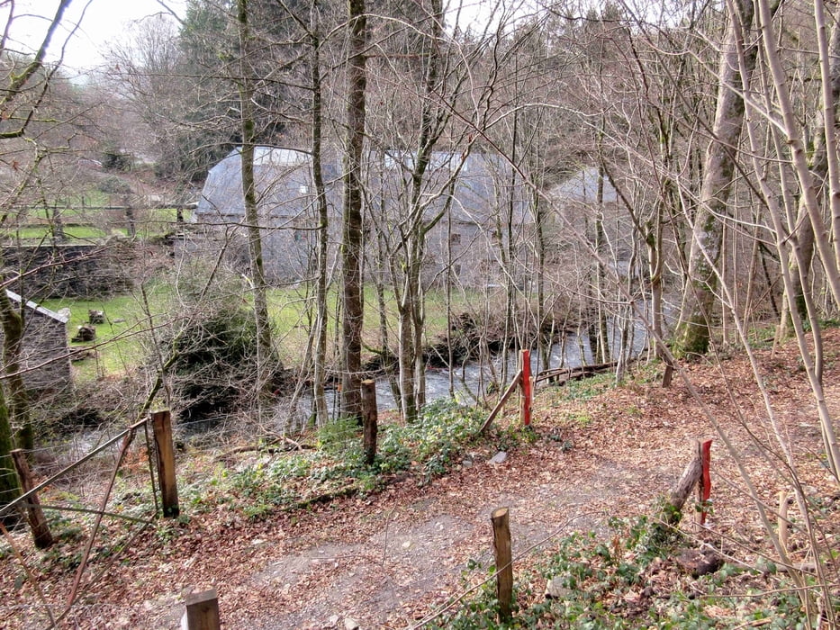
Une promenade en boucle qui vous fera découvrir le val de Poix dans la région de Saint-Hubert, capitale de la chasse. Vous flanerez dans une partie de la forêt ardennaise et vous accompagnerez la Lhomme une grande partie de la promenade, rivière qui vous réserve bien des surprises. Profitez.
Tour gallery
Tour map and elevation profile
Minimum height 287 m
Maximum height 409 m
More about the tour author

|
bril123 |
Comments

Vous démarrez et vous terminez la promenade à la gare de Poix Saint-Hubert. Si le coeur vous en dit, une auberge vous y attend. Vous pourrez déguster quelques bières de la province de Luxembourg tels que l'Achouffe ou l'Orval.
GPS tracks
Trackpoints-
GPX / Garmin Map Source (gpx) download
-
TCX / Garmin Training Center® (tcx) download
-
CRS / Garmin Training Center® (crs) download
-
Google Earth (kml) download
-
G7ToWin (g7t) download
-
TTQV (trk) download
-
Overlay (ovl) download
-
Fugawi (txt) download
-
Kompass (DAV) Track (tk) download
-
Track data sheet (pdf) download
-
Original file of the author (gpx) download
More about the tour author
|
|
bril123 |
Add to my favorites
Remove from my favorites
Edit tags
Open track
My score
Rate