


Schöne kleine Verauungsrunde in Böbingen an der Rems.
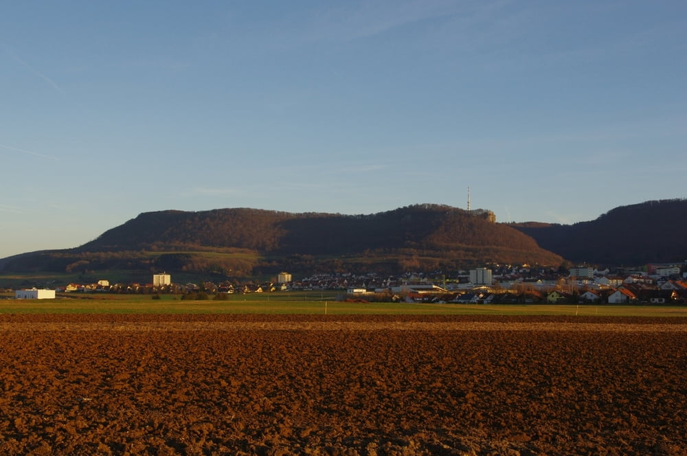
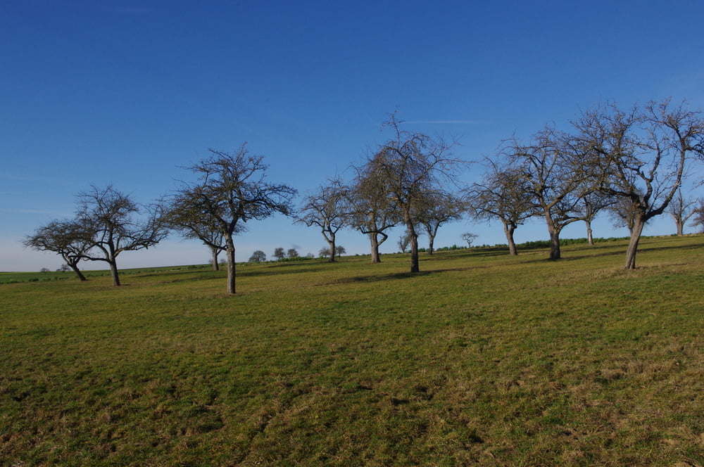
Los geht es an der Michaelskirche in Oberböbingen und zuerst auf der kleinen Ortsverbindungsstraße über die Ungerhalde in Richtung Beiswang. Bevor es zur Beiswanger Kapelle geht nach links auf den neu gebauten Weg zum Bruckholz. Auf dem Weg der um den Wald führt entlang gehen und den Blick auf die Schwäbische Alb geniessen. Den Abschnitt auf dem Verbindungssträßchen zwischen Oberböbingen und Buch schnell hinter sich bringen und auf den Feldweg in das Schlierbachtal einbiegen und durch die Feldlage zurück zum Ausgangspunkt gehen.
Further information at
https://de.wikipedia.org/wiki/B%C3%B6bingen_an_der_RemsTour gallery


Tour map and elevation profile
Minimum height 393 m
Maximum height 439 m
More about the tour author
|
|
Pheinz |
Comments

Start und Ziel ist an der Michaelskirche in Oberböbingen.
GPS tracks
Trackpoints-
GPX / Garmin Map Source (gpx) download
-
TCX / Garmin Training Center® (tcx) download
-
CRS / Garmin Training Center® (crs) download
-
Google Earth (kml) download
-
G7ToWin (g7t) download
-
TTQV (trk) download
-
Overlay (ovl) download
-
Fugawi (txt) download
-
Kompass (DAV) Track (tk) download
-
Track data sheet (pdf) download
-
Original file of the author (gpx) download
More about the tour author
|
|
Pheinz |
Add to my favorites
Remove from my favorites
Edit tags
Open track
My score
Rate