


Schöne MTB-Tour mit Beginn und Ende am direkt an der Hauptstraße in Savogna, Val Natisone, gelegenen Parkplatz.
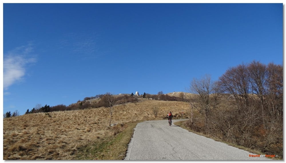
Auffahrt bis zum Rifugio Guglielmo Pelizzo auf 1.325m über Asphaltstraße. Ab dort bis zum Gipfel gemischtes Fahren, Tragen, Schieben.
Abfahrt über relativ flowigen Trail mit einigen wenigen, meist kurzen technischen Abschnitten, selten mehr wie S2
Further information at
http://www.freundderberge.at/2015/MTBMatajur1501/Tour gallery


Tour map and elevation profile
Minimum height 199 m
Maximum height 1639 m
More about the tour author
|
|
freund-der-berge |
Comments

Mit PKW ins Val Natisone; Je nach Vorliebe über Italien oder Slowenien anreisen, zeitlich ist´s ziemlich gleich.
GPS tracks
Trackpoints-
GPX / Garmin Map Source (gpx) download
-
TCX / Garmin Training Center® (tcx) download
-
CRS / Garmin Training Center® (crs) download
-
Google Earth (kml) download
-
G7ToWin (g7t) download
-
TTQV (trk) download
-
Overlay (ovl) download
-
Fugawi (txt) download
-
Kompass (DAV) Track (tk) download
-
Track data sheet (pdf) download
-
Original file of the author (gpx) download
More about the tour author
|
|
freund-der-berge |
Add to my favorites
Remove from my favorites
Edit tags
Open track
My score
Rate