
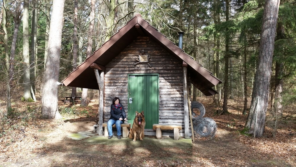

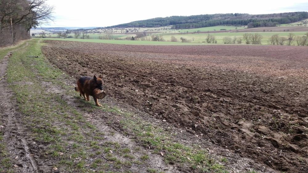
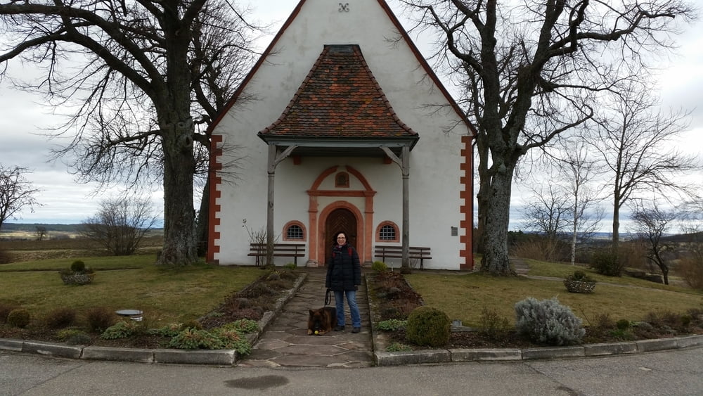
Wir starten bei der St. Wendelins-Kapelle oberhalb von Steinegg, kreuzen gleich die Landstraße und danngeht es, vorbei an der Schwarzwald-Finca, durch die Äcker. Bald nimmt uns ein kleienr Wald auf, wir erreichen die Volkerts-Hütte. Nun treten wir wieder raus ins Feld. Unter uns der Welzgraben geht es wieder durch Feld und Flur, wir treffen auf ein Stück Ostweg. Dann wird die Landstraße wieder überquert und es geht ein paar Höhenmeter hinauf zurück zur St. Wendelins-Kapelle. wo sich der Wanderkreis schließt.
Tour gallery
Tour map and elevation profile
Minimum height 452 m
Maximum height 500 m
More about the tour author
|
|
Sigi2910 |
Comments

GPS tracks
Trackpoints-
GPX / Garmin Map Source (gpx) download
-
TCX / Garmin Training Center® (tcx) download
-
CRS / Garmin Training Center® (crs) download
-
Google Earth (kml) download
-
G7ToWin (g7t) download
-
TTQV (trk) download
-
Overlay (ovl) download
-
Fugawi (txt) download
-
Kompass (DAV) Track (tk) download
-
Track data sheet (pdf) download
-
Original file of the author (gpx) download
More about the tour author
|
|
Sigi2910 |
Add to my favorites
Remove from my favorites
Edit tags
Open track
My score
Rate