


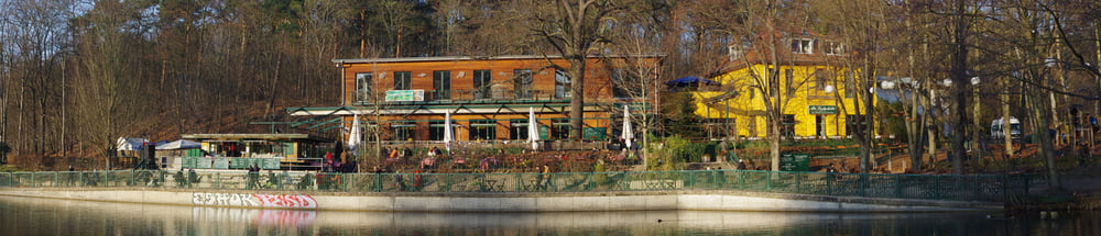
Eine Acht um die beiden Grunewaldseen Schlachtensee und Krumme Lanke ist immer wieder einmal schön.
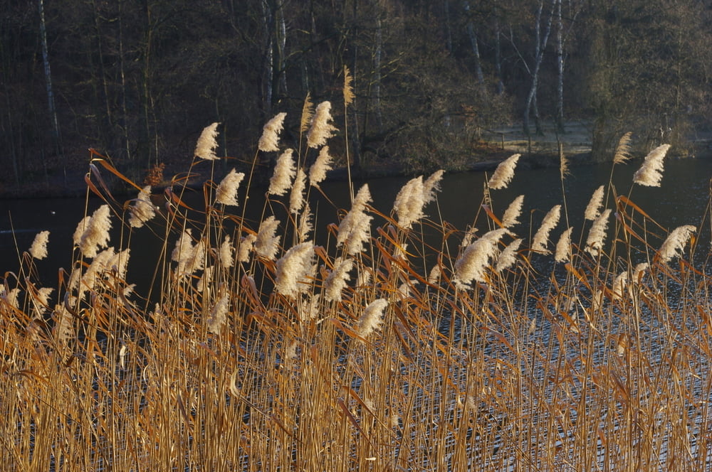
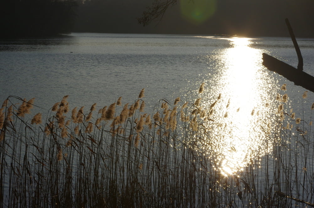
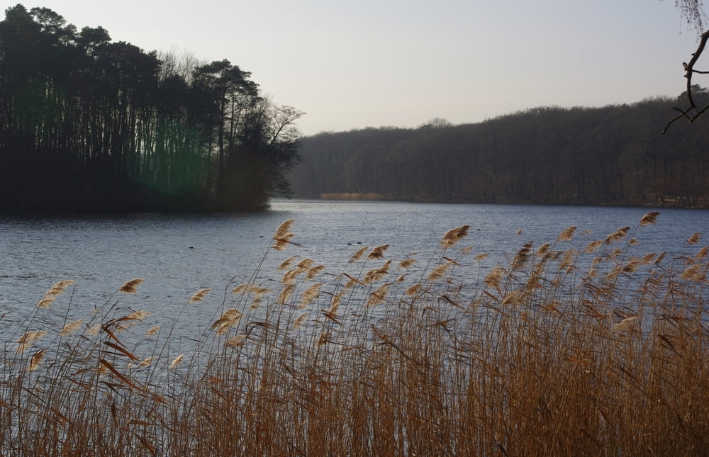
Wir parkten zwischen den Seen am Kiosk und wanderten zuerst um den Schlachtensee. Wir genossen die Sonne und die Ruhe um dann noch um die Krumme Lanke herum zu gehen.
Auch hier war alles wunderbar ruhig. Die Hunde störten nicht und so war alles wunderbar.
Further information at
https://de.wikipedia.org/wiki/GrunewaldseenketteTour gallery
Tour map and elevation profile
Minimum height 39 m
Maximum height 50 m
More about the tour author
|
|
Pheinz |
Comments

Auf dem Parkplatz am Fischerhüttenweg geht es los.
GPS tracks
Trackpoints-
GPX / Garmin Map Source (gpx) download
-
TCX / Garmin Training Center® (tcx) download
-
CRS / Garmin Training Center® (crs) download
-
Google Earth (kml) download
-
G7ToWin (g7t) download
-
TTQV (trk) download
-
Overlay (ovl) download
-
Fugawi (txt) download
-
Kompass (DAV) Track (tk) download
-
Track data sheet (pdf) download
-
Original file of the author (gpx) download
More about the tour author
|
|
Pheinz |
Add to my favorites
Remove from my favorites
Edit tags
Open track
My score
Rate