


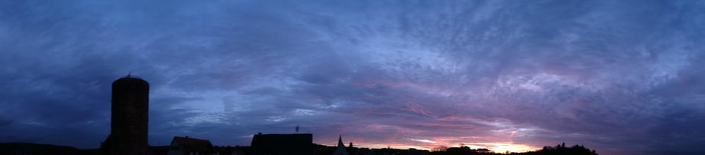
Möchte Euch meine kurzweilige und schöne Trainingsrunde für Rennrad/Trekkingrad Richtung Oberpfalz vorstellen.
Sie führt durch sehr reizvolle Landschaft, ist so kurz, dass selbt MTBlern nicht langweilig wird ;-) und bringt konditionell etwas, da sie ständig bergauf/bergab geführt ist. So kann man in recht kurzer Zeit trainieren und gut abschalten.
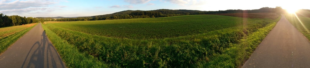
Außerdem verläuft sie komplett auf Straßen, diese sind ganz großteils recht unbefahrene, kleine Nebenstraßen.
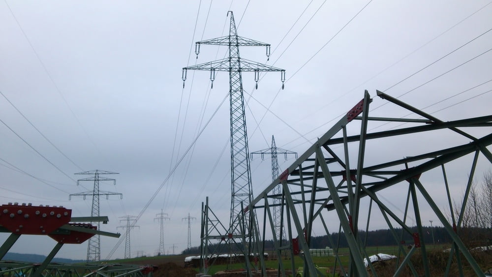
Last but not least unterquert sie mehrfach die dreifache Stromtrasse von 1946, diese stellt schon einen groben EIngriff in die Landschaft dar. Sie soll nach den neuesten Planungen auf 70m aufgestockt werden. Trassenwahn.
Tour gallery
Tour map and elevation profile
Minimum height 357 m
Maximum height 533 m
More about the tour author

|
Markusso |
Comments

Startpunkt ist Mimberg, einfach mit der S-Bahn zu erreichen
GPS tracks
Trackpoints-
GPX / Garmin Map Source (gpx) download
-
TCX / Garmin Training Center® (tcx) download
-
CRS / Garmin Training Center® (crs) download
-
Google Earth (kml) download
-
G7ToWin (g7t) download
-
TTQV (trk) download
-
Overlay (ovl) download
-
Fugawi (txt) download
-
Kompass (DAV) Track (tk) download
-
Track data sheet (pdf) download
-
Original file of the author (gpx) download
More about the tour author
|
|
Markusso |
Add to my favorites
Remove from my favorites
Edit tags
Open track
My score
Rate