
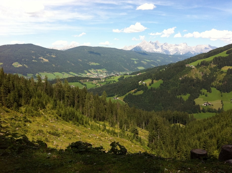

Start: von Siegsdorf kommend durch Hammer - 1. Parkplatz links - auf der Forststraße Richtung Stoisser Alm, am Sattel angekommen kann man links abbiegen zur Stoisser Alm oder aber geradeaus weiterfahren zur Bäckeralm (Rast). Weiter gehts dann abwärts bis Adlgass von wo man dann Richtung Steiner Alm bis zum Frillensee fährt, diesen umrundet und weiter über Forst- Wiesen- und Waldweg um den Falkenstein nach Inzell fährt. Von dort (Max Aicher Arena) geht's dann auf dem Radweg (Richtung Hammer) wieder zurück zum Ausgangspunkt der Tour.
Tour map and elevation profile
Minimum height 677 m
Maximum height 1220 m
More about the tour author
|
|
MTBiker55 |
Comments

GPS tracks
Trackpoints-
GPX / Garmin Map Source (gpx) download
-
TCX / Garmin Training Center® (tcx) download
-
CRS / Garmin Training Center® (crs) download
-
Google Earth (kml) download
-
G7ToWin (g7t) download
-
TTQV (trk) download
-
Overlay (ovl) download
-
Fugawi (txt) download
-
Kompass (DAV) Track (tk) download
-
Track data sheet (pdf) download
-
Original file of the author (gpx) download
More about the tour author
|
|
MTBiker55 |
Add to my favorites
Remove from my favorites
Edit tags
Open track
My score
Rate