Login

Forgot your login?

Cookies have to be accepted!
Your browser's cookie functionality is disabled. Please enable this functionality.

Not a member yet?

Register now
Login

Available for registred users only

Log in to use this feature.

Forgot your login?

Cookies have to be accepted!
Your browser's cookie functionality is disabled. Please enable this functionality.

Not a member yet?

Register now
Filter
Categories
Advanced filters
  • Distance (km)
  • Height
Save filters Reset filter

TrackRank

QRCode

Technical data

Distance53,4 km Height699 m Way down688 m Duration03:19 h:m Date13.03.2016
Scores Author Landscape Fun factor Fitness Technique

Statistics

286 Views Scores 31 Downloads Average
Rate
  • Track data sheet
  • Directions
  • Downloads

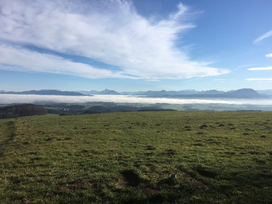
Die Tour führt von Bürmoos nach Acharting, weiter über Würzenberg zur Kaiserbuche. Von dort geht's dem Kamm entlang auf Forst- u. Waldwegen (schöne Trails) Richtung Berndorf. Abfahrt ins Oichtental nach Michaelbeuern, Dorfbeuern u. über Stockham, Asten, L'hausen zurück zum Ausgangspunkt der Runde.


Tour map and elevation profile

  • Open Street Map
  • Google
Minimum height 386 m Maximum height 804 m Detailed view

More about the tour author

MTBiker55
Member since 2013

Send private message

Comments

GPS tracks

Trackpoints
  • GPX / Garmin Map Source (gpx) download
  • TCX / Garmin Training Center® (tcx) download
  • CRS / Garmin Training Center® (crs) download
  • Google Earth (kml) download
  • G7ToWin (g7t) download
  • TTQV (trk) download
  • Overlay (ovl) download
  • Fugawi (txt) download
  • Kompass (DAV) Track (tk) download
  • Track data sheet (pdf) download
  • Original file of the author (gpx) download

More about the tour author

MTBiker55
Member since 2013

Send private message
Share track
Add to my favorites
Remove from my favorites
Edit tags
My score
Rate
Track: Haunsbergrunde
Type: Mountain bike
Distance: 53,4 km
Evaluated on:
Duration:
Day(s)
Hour(s)
Minute(s)
Score: Landscape Fun factor Fitness Technique