


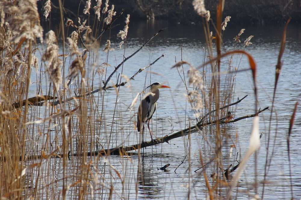
Von der Baumgartenbrücke wanderten wir durch den Wald zum Petzinsee und anschließend an seinem und am Ufer des Templiner Sees zur Eisenbahn die den See auf einem Damm und einer Brücke quert.
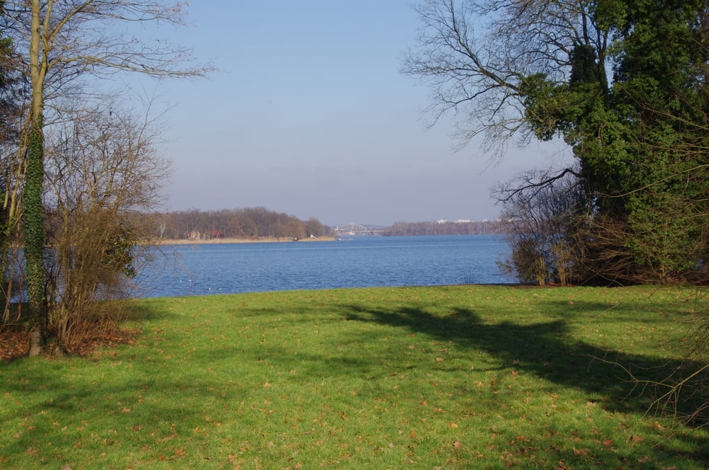
Von der Brücke bietet sich ein weiter Blick bis hoch nach Potsdam. Auf der anderen Seite wanderten wir nach Caputh. Wir querten die Havel mit der Caputher Fähre und wanderten entspannt an Baumgartenbrück vorbei zu unserem Ausgangspunkt.
Von der Brücke bietet sich ein weiter Blick bis hoch nach Potsdam. Auf der anderen Seite wanderten wir nach Caputh. Wir querten die Havel mit der Caputher Fähre und wanderten entspannt an Baumgartenbrück vorbei zu unserem Ausgangspunkt.
Further information at
https://de.wikipedia.org/wiki/Liste_der_Br%C3%BCcken_%C3%BCber_die_Potsdamer_HavelTour gallery
Tour map and elevation profile
Minimum height 25 m
Maximum height 60 m
More about the tour author
|
|
Pheinz |
Comments

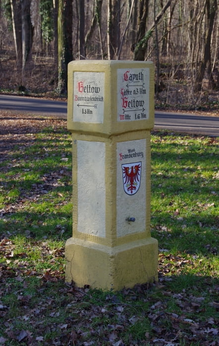
Start auf dem Parkplatz an der Geltower Brücke.
GPS tracks
Trackpoints-
GPX / Garmin Map Source (gpx) download
-
TCX / Garmin Training Center® (tcx) download
-
CRS / Garmin Training Center® (crs) download
-
Google Earth (kml) download
-
G7ToWin (g7t) download
-
TTQV (trk) download
-
Overlay (ovl) download
-
Fugawi (txt) download
-
Kompass (DAV) Track (tk) download
-
Track data sheet (pdf) download
-
Original file of the author (gpx) download
More about the tour author
|
|
Pheinz |
Add to my favorites
Remove from my favorites
Edit tags
Open track
My score
Rate