Login

Forgotten password?

Cookies have to be accepted!
Your browser's cookie functionality is disabled. Please enable this functionality.

Not a member yet?

Register now
Login

Available for registred users only

Log in to use this feature.

Forgotten password?

Cookies have to be accepted!
Your browser's cookie functionality is disabled. Please enable this functionality.

Not a member yet?

Register now
Filter
Categories
Advanced filters
  • Distance (km)
  • Height
Save filters Reset filter

TrackRank

QRCode

Technical data

Distance33,9 km Height834 m Way down793 m Duration03:15 h:m Date29.03.2016
Scores Author Landscape Fun factor Fitness Technique

Statistics

468 Views Scores 70 Downloads Average
Rate
  • Track data sheet
  • Directions
  • Downloads

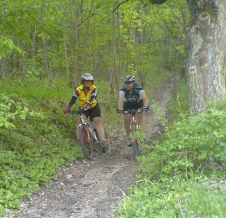
 Nette Auftaktrunde mit zwei schönen Anstiegen und einer Schiebe/Tragepassage die auch umfahren werden kann. Panoramaaussicht von der Vexierkapelle übers Wiesenttal zum Walberla. Danach rasante Abfahrt ins Tal und erneuter extrem steiler Anstieg zum Flughafen bei der Burg Feuerstein mit Einkehrmöglichkeit. Abfahrt nach Drosendorf und Gunzendorf von da Schlussanstieg zum Bierkeller auf dem Senftenberg. Danach zurück nach Buttenheim.


Tour map and elevation profile

  • Open Street Map
  • Google
Minimum height 272 m Maximum height 581 m Detailed view

More about the tour author

kamrehn
Member since 2010

Send private message

Comments

GPS tracks

Trackpoints
  • GPX / Garmin Map Source (gpx) download
  • TCX / Garmin Training Center® (tcx) download
  • CRS / Garmin Training Center® (crs) download
  • Google Earth (kml) download
  • G7ToWin (g7t) download
  • TTQV (trk) download
  • Overlay (ovl) download
  • Fugawi (txt) download
  • Kompass (DAV) Track (tk) download
  • Track data sheet (pdf) download
  • Original file of the author (gpx) download

More about the tour author

kamrehn
Member since 2010

Send private message
Share track
Add to my favorites
Remove from my favorites
Edit tags
My score
Rate
Track: Saisonopening in der Fränkischen Schweiz
Type: Mountain bike
Distance: 33,9 km
Evaluated on:
Duration:
Day(s)
Hour(s)
Minute(s)
Score: Landscape Fun factor Fitness Technique