


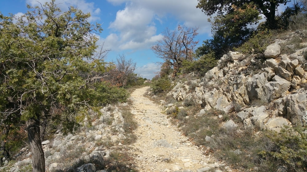
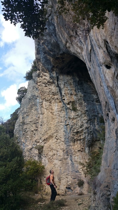
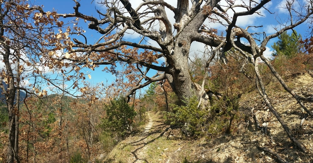
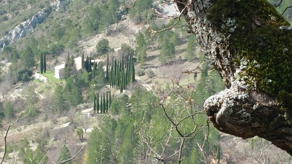
Sehr schöne Wandertour am Mont Ventoux im Tal der Toulourance nach Brantes. Die Tour führt über steinige Pfade gegenüber dem Mont Ventoux auf einen Pass und von dort weiter in das provencalische Dorf Brantes. Unterhalb von Brantes führt eine kleine Genuesenbrücke über die Toulourance. Die letzten 2 Kilometer verlaufen leider entlang der wenig befahrenen Straße zurück zum Parkplatz, was aber der Schönheit der Wandertour keinen Abbruch tut.
Weitere Wanderungen in der Provence:
Gorges du Verdon
Dentelles Sarrasines
Pas du Loup
Séquret
Dentelles dde Montmirail
Gorges de la Nesque
Further information at
https://de.wikipedia.org/wiki/BrantesTour gallery
Tour map and elevation profile
Minimum height 385 m
Maximum height 705 m
More about the tour author
|
|
riemchens |
Comments

Von Vaison la Romaine nach nach Süden und links ab auf die D 54 in Richtung Mollans sür Ouvèze. Vor Mollans rechts ab auf die D40 in Richtung Brantes bis nach St. Légère du Mont Ventoux. Hier startet die Tour an einem Parkplatz an der Toulourance.
GPS tracks
Trackpoints-
GPX / Garmin Map Source (gpx) download
-
TCX / Garmin Training Center® (tcx) download
-
CRS / Garmin Training Center® (crs) download
-
Google Earth (kml) download
-
G7ToWin (g7t) download
-
TTQV (trk) download
-
Overlay (ovl) download
-
Fugawi (txt) download
-
Kompass (DAV) Track (tk) download
-
Track data sheet (pdf) download
-
Original file of the author (gpx) download
More about the tour author
|
|
riemchens |
Add to my favorites
Remove from my favorites
Edit tags
Open track
My score
Rate