


Ein ca. 7 km langer Rundwanderweg im Wald rund um Laßnitzhöhe.
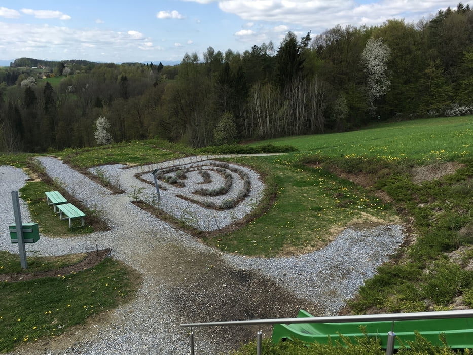
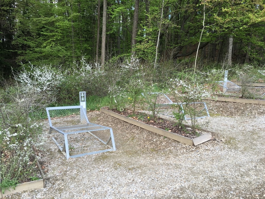
Auch für Kinder gut geeignet, da es mehrere Erlebnisstationen gibt, bei denen Kinder auf ihre Rechnung kommen.
Further information at
http://www.sebastianreloaded.at/Tour gallery
Tour map and elevation profile
Minimum height 452 m
Maximum height 545 m
More about the tour author

|
walterring |
Comments

A2 Südautobahn, Abfahrt Laßnitzhöhe.
Der 7 Kilometer lange Terrainkur-Erlebnisweg sebastian RELOADED® liegt im Hügelland östlich von Graz im Heilklimatischen Kurort Laßnitzhöhe auf 440 bis 540 Metern Seehöhe. Er befindet sich an der Grenze der Klimaregionen östliche Grazer Bucht und Weizer-Gleisdorfer Riedelland.
Hauptausgangspunkt ist der Regionale Marktplatz der Marktgemeinde Laßnitzhöhe. Für den Fall, dass Ihnen der ganze Weg zu lange ist oder Sie nur zu einer oder mehreren bestimmten Erlebnisstationen möchten, haben wir 6 zusätzliche Einstiegsmöglichkeiten für Sie geschaffen.
GPS tracks
Trackpoints-
GPX / Garmin Map Source (gpx) download
-
TCX / Garmin Training Center® (tcx) download
-
CRS / Garmin Training Center® (crs) download
-
Google Earth (kml) download
-
G7ToWin (g7t) download
-
TTQV (trk) download
-
Overlay (ovl) download
-
Fugawi (txt) download
-
Kompass (DAV) Track (tk) download
-
Track data sheet (pdf) download
-
Original file of the author (gpx) download
More about the tour author
|
|
walterring |
Add to my favorites
Remove from my favorites
Edit tags
Open track
My score
Rate