


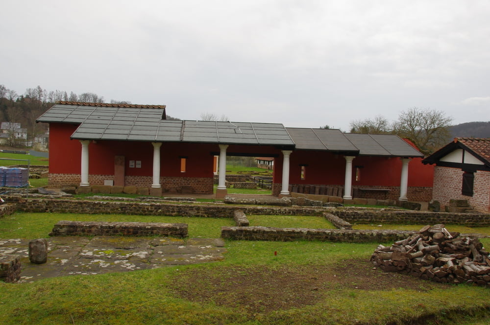
Von Homburg Schwarzenbach wanderte ich am nördlichen Ortsrand in den Wald und verfolgte bald einen Wildwechsel den Berg hoch. Ich überschritt den Kamm und kam in der Talsohle an um auf dem Weg nach Kirrberg noch einen Abstecher zu machen der mich auf etwas unwegsamen Gelände zum Grünabladeplatz brachte.
Ich wanderte auf die andere Seite des Tales und durchquerte Kirrberg das ich dann ansteigend nach Süden verließ.
Bevor die kleine Straße richtig anstieg bog ich auf einen schmalen Wanderweg ab der später über Wiesen zur Ski- und Wanderhütte Kirrberg anstieg.
Nach einer kleinen Rast wanderte ich auf dem schmalen Sträßchen auf dem Höhenzug nach Homburg Schwarzenacker und erreichte bald darauf den Ausgangspunkt.
Further information at
https://de.wikipedia.org/wiki/HomburgTour gallery


Tour map and elevation profile
Minimum height 226 m
Maximum height 378 m
More about the tour author
|
|
Pheinz |
Comments

Start und Ziel in Homburg Schwarzenbach.
GPS tracks
Trackpoints-
GPX / Garmin Map Source (gpx) download
-
TCX / Garmin Training Center® (tcx) download
-
CRS / Garmin Training Center® (crs) download
-
Google Earth (kml) download
-
G7ToWin (g7t) download
-
TTQV (trk) download
-
Overlay (ovl) download
-
Fugawi (txt) download
-
Kompass (DAV) Track (tk) download
-
Track data sheet (pdf) download
-
Original file of the author (gpx) download
More about the tour author
|
|
Pheinz |
Add to my favorites
Remove from my favorites
Edit tags
Open track
My score
Rate