Login

Forgot your login?

Cookies have to be accepted!
Your browser's cookie functionality is disabled. Please enable this functionality.

Not a member yet?

Register now
Login

Available for registred users only

Log in to use this feature.

Forgot your login?

Cookies have to be accepted!
Your browser's cookie functionality is disabled. Please enable this functionality.

Not a member yet?

Register now
Filter
Categories
Advanced filters
  • Distance (km)
  • Height
Save filters Reset filter

TrackRank

QRCode

Technical data

Distance57,9 km Height597 m Way down592 m Duration00:00 h:m Date17.04.2016
Scores Author Landscape Fun factor Fitness Technique

Statistics

217 Views Scores 32 Downloads Average
Rate
  • Track data sheet
  • Directions
  • Downloads

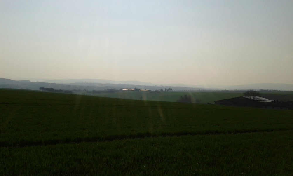
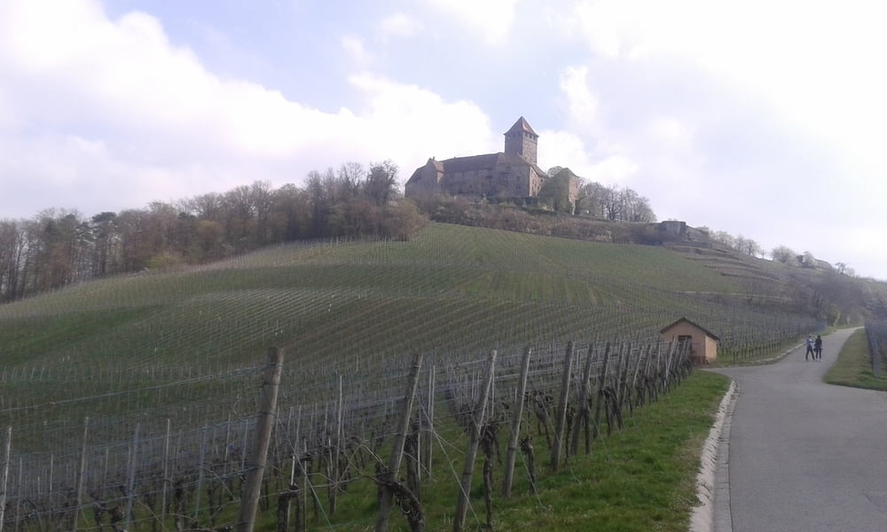
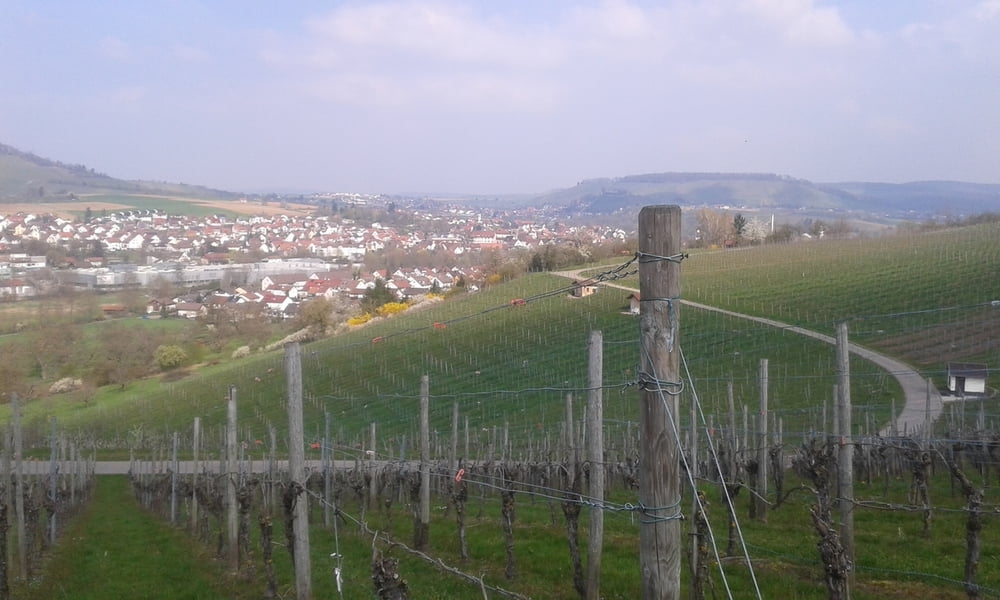
Schöne Tour von Weiler zum Stein über Marbach nach Beilstein. Von dort geht es über Großaspach zurück zum Ausgangspunkt.

Die Strecke führt weitestgehend über bestens ausgebaute Radwege die auch mit schmaleren Reifen befahrbar sind. Nur ganz vereinzelt gibt es Schotterwege.

Tour gallery

Tour map and elevation profile

  • Open Street Map
  • Google
Minimum height 215 m Maximum height 415 m Detailed view

More about the tour author

Stefan21
Member since 2013

Send private message

Comments

Ausgangspunkt der Strecke ist die Gemeindehalle in Weiler zum Stein. Dort gibt es ausreichend öffentliche Parkplätze.


GPS tracks

Trackpoints
  • GPX / Garmin Map Source (gpx) download
  • TCX / Garmin Training Center® (tcx) download
  • CRS / Garmin Training Center® (crs) download
  • Google Earth (kml) download
  • G7ToWin (g7t) download
  • TTQV (trk) download
  • Overlay (ovl) download
  • Fugawi (txt) download
  • Kompass (DAV) Track (tk) download
  • Track data sheet (pdf) download
  • Original file of the author (gpx) download

More about the tour author

Stefan21
Member since 2013

Send private message
Share track
Add to my favorites
Remove from my favorites
Edit tags
My score
Rate
Track: Weinberg- und Burgenrunde nach Beilstein
Type: Trekkingbike
Distance: 57,9 km
Evaluated on:
Duration:
Day(s)
Hour(s)
Minute(s)
Score: Landscape Fun factor Fitness Technique