


Von Homburg Schwarzenbach durch das Blies- und Taubental nach Kirkel Neuhäusel.
Am Abend dann zuerst nach Rohrbach und am Gewerbegebiet vorbei nach Hassel und in das Tal des Würzbaches hinab.
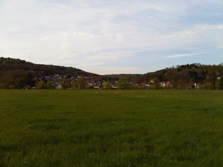
In Tallage über Niederwürzbach nach Lautzkirchen und mit einem Schwenk nach Blieskastel nach Webenheim. Hier durch den Reiterhof in die wunderschöne Talau in der mir Störche und Rehe über den Weg liefen.
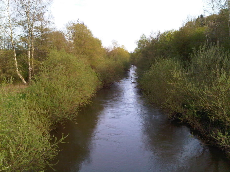
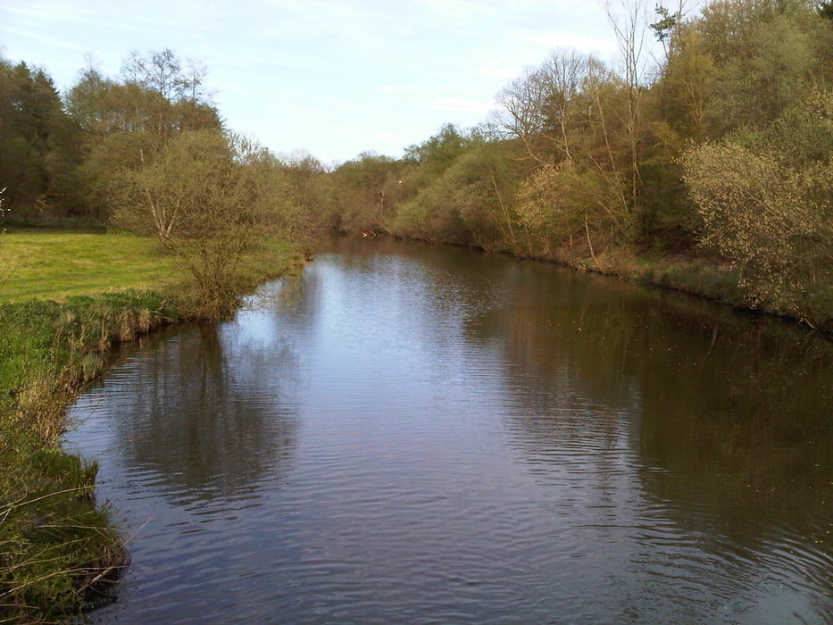
Als ich an die Bundesstraße kam musste ich das Rad über die Leitplanke heben und auf den Verkehr achten. Ich radelte trotzdem recht gut weiter nach Einöd und durch die Bliestal au vollends zum Ausgangspunkt zurück.
Further information at
https://de.wikipedia.org/wiki/Biosph%C3%A4renreservat_BliesgauTour gallery
Tour map and elevation profile
Minimum height 224 m
Maximum height 322 m
More about the tour author
|
|
Pheinz |
Comments

Start und Ziel in Homburg Schwarzenbach.
GPS tracks
Trackpoints-
GPX / Garmin Map Source (gpx) download
-
TCX / Garmin Training Center® (tcx) download
-
CRS / Garmin Training Center® (crs) download
-
Google Earth (kml) download
-
G7ToWin (g7t) download
-
TTQV (trk) download
-
Overlay (ovl) download
-
Fugawi (txt) download
-
Kompass (DAV) Track (tk) download
-
Track data sheet (pdf) download
-
Original file of the author (gpx) download
More about the tour author
|
|
Pheinz |
Add to my favorites
Remove from my favorites
Edit tags
Open track
My score
Rate