


- Rundkurs im Uhrzeigersinn(gegen den Uhrzeigersinn ebenfalls fahrbar)
- Start: Marling Ziel: Marling-Marlinger Brücke/Parkplatz
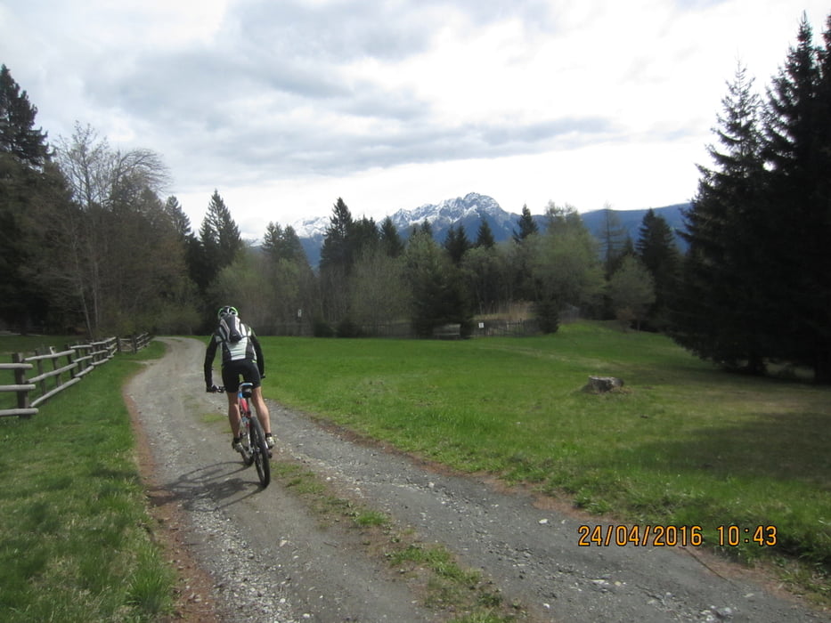
- Von Marling bis zum Almboden auf kaum befahrener Teerstrasse bis zum Gasthof Tschigg(2 kurze, etwas steilere Abschnitte). Weiter auf Schotterweg bis zum Almboden (Km 10,7 - MH 1.348).
- Vom Almboden ca. 500 Meter Abfahrt bis zm Gasthaus Eggerhof.
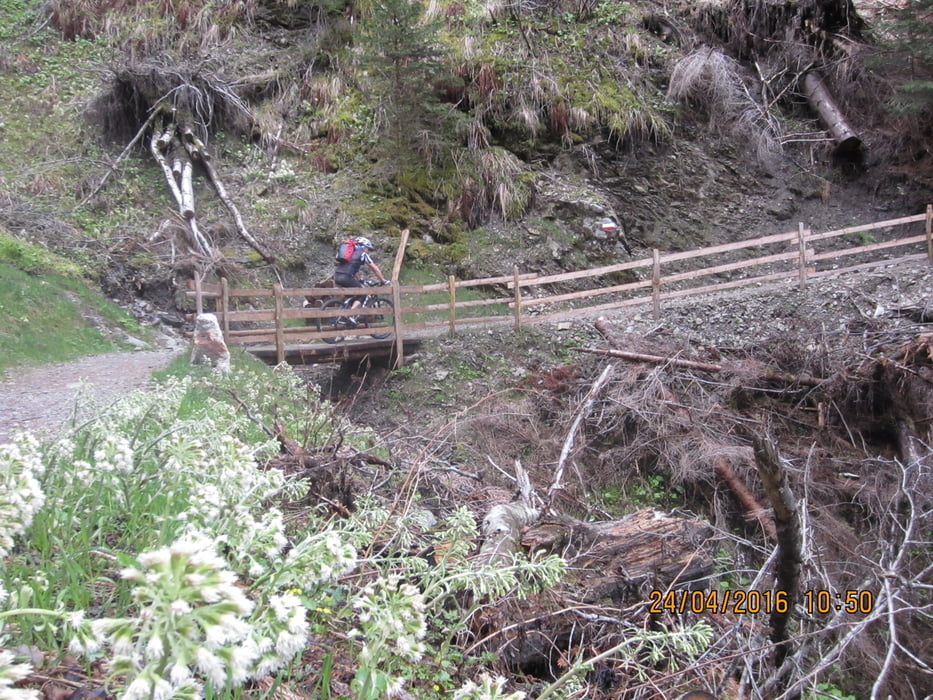
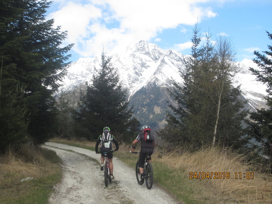
- Vom Eggerhof geht`s weiter auf dem Martins Weg (breiter Steig, bzw. Forststrasse) bis nach Aschbach (Km 16,4 - MH 1.345). In Aschbach gibt es 2 Einkehrmöglichkeiten.
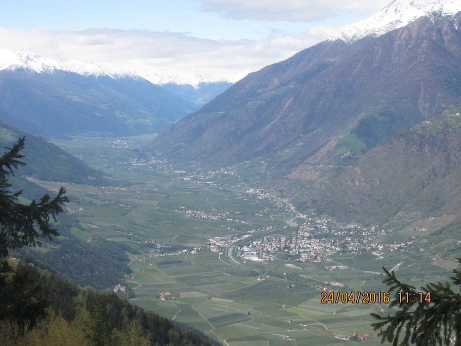
- Von Aschbach auf Teerstrasse(kaum Verkehr) bis in die Talsohle nach Töll. Von dort auf dem Radweg nach Algund. Über die Etsch nach Forst. Weiter auf der Panoramastrasse nach Marling.
Tour gallery
Tour map and elevation profile
Minimum height 289 m
Maximum height 1431 m
More about the tour author
|
|
MargesinFriedrich |
Comments

GPS tracks
Trackpoints-
GPX / Garmin Map Source (gpx) download
-
TCX / Garmin Training Center® (tcx) download
-
CRS / Garmin Training Center® (crs) download
-
Google Earth (kml) download
-
G7ToWin (g7t) download
-
TTQV (trk) download
-
Overlay (ovl) download
-
Fugawi (txt) download
-
Kompass (DAV) Track (tk) download
-
Track data sheet (pdf) download
-
Original file of the author (gpx) download
More about the tour author
|
|
MargesinFriedrich |
Add to my favorites
Remove from my favorites
Edit tags
Open track
My score
Rate