


Schöne, mäßig steile Auffahrt auf Asphalt, ganz oben Schotterpiste, bzw verlegte Natursteine.
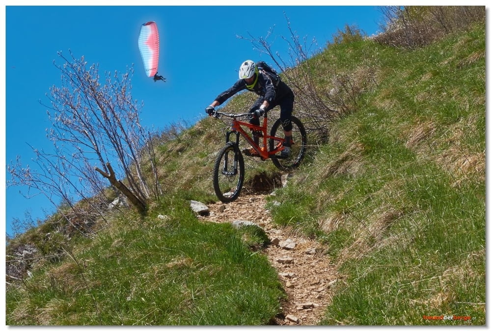
Start nicht am Cuarnan-Gipfel, sondern bereits am Umkehrplatz, bzw. in dem Bereich, wo auch die Paragleiter und Drachenflieger starten.
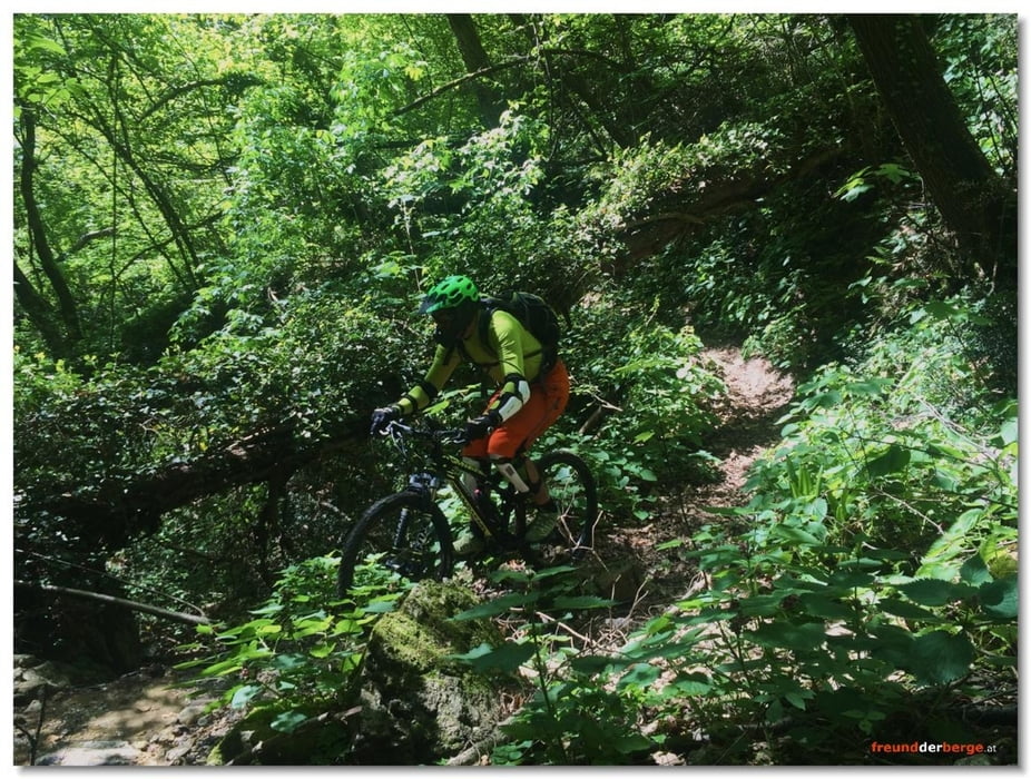
Abfahrt in südlicher Richtung, zunächst eher "hakelig", d.h. Spitzkehren mit Felstreppen, nur für sehr gute Fahrer fahrbar. Später sehr flowig, insbesondere ab der Waldgrenze. Im untersten Teil kann man einen Pfad befahren, der sehr wenig begangen/befahren aussieht und in dem man sich wie in einem Urwald oder Märchenwald vorkommt. Schon fast bei der Straße angelangt, verliert sich der Pfad und man muss improvisieren. Dort Achtung! Verletzungsgefahr durch rostige, kaum sichtbare Stacheldrahtreste!
Further information at
http://freundderberge.at/2016/MTBCuarnan1602/Tour gallery


Tour map and elevation profile
Minimum height 218 m
Maximum height 1186 m
More about the tour author
|
|
freund-der-berge |
Comments

Gemona, als HQ eignet sich das Bar/Rist./Camping Ai Pioppi
GPS tracks
Trackpoints-
GPX / Garmin Map Source (gpx) download
-
TCX / Garmin Training Center® (tcx) download
-
CRS / Garmin Training Center® (crs) download
-
Google Earth (kml) download
-
G7ToWin (g7t) download
-
TTQV (trk) download
-
Overlay (ovl) download
-
Fugawi (txt) download
-
Kompass (DAV) Track (tk) download
-
Track data sheet (pdf) download
-
Original file of the author (gpx) download
More about the tour author
|
|
freund-der-berge |
Add to my favorites
Remove from my favorites
Edit tags
Open track
My score
Rate