


Superrunde auf drei Fernwanderwegen
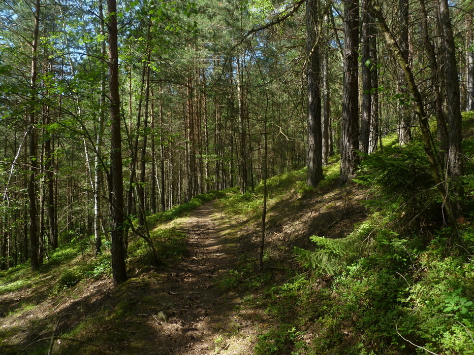
Der Pandurensteig mit seinen Wurzeltrails am Pfahl entlang ist natürlich eines der Highlights. Aber auch auf dem Jakobsweg - als Grüner Pfeil ausgeschildert - macht das Fahren Spaß. Nicht zu verachten ist die Bergfahrt von Kötzting hoch zur Wiese beim Schinderriegel und natürlich die 700m lange und anspruchsvolle Trailabfahrt hinunter zum Höllensteinsee.
Baden kann man im Blaibachsee und am Schwarzen Regen kurz vor Viechtach.
- Viechtach - "Pandurensteig" - Moosbach - "Jakobsweg" - Bad Kötzting - "Baierweg" - Viechtach -
Einkehr: Imbis am Blaibachsee, Kötzting, Viechtach Gasthaus Kreutzberg.
Further information at
http://benignus.deTour gallery
Tour map and elevation profile
Minimum height 395 m
Maximum height 633 m
More about the tour author
|
|
Nachtfarben |
Comments

Viechtach liegt an der B 85 zwischen Cham und Regen.
GPS tracks
Trackpoints-
GPX / Garmin Map Source (gpx) download
-
TCX / Garmin Training Center® (tcx) download
-
CRS / Garmin Training Center® (crs) download
-
Google Earth (kml) download
-
G7ToWin (g7t) download
-
TTQV (trk) download
-
Overlay (ovl) download
-
Fugawi (txt) download
-
Kompass (DAV) Track (tk) download
-
Track data sheet (pdf) download
-
Original file of the author (gpx) download
More about the tour author
|
|
Nachtfarben |
Add to my favorites
Remove from my favorites
Edit tags
Open track
My score
Rate