


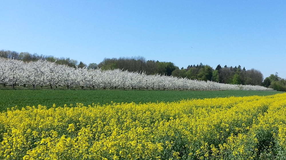
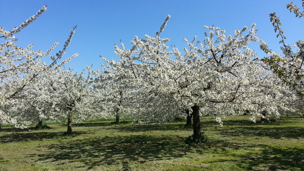
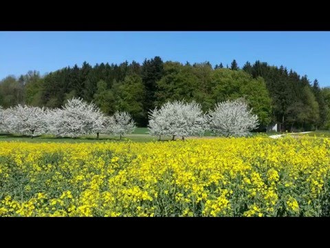
Während überall in unserer Gegend dir Kirschblüte zu Ende ist, finden wir auf dieser Höhenlage noch viele blühende Bäume.
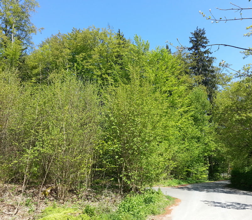
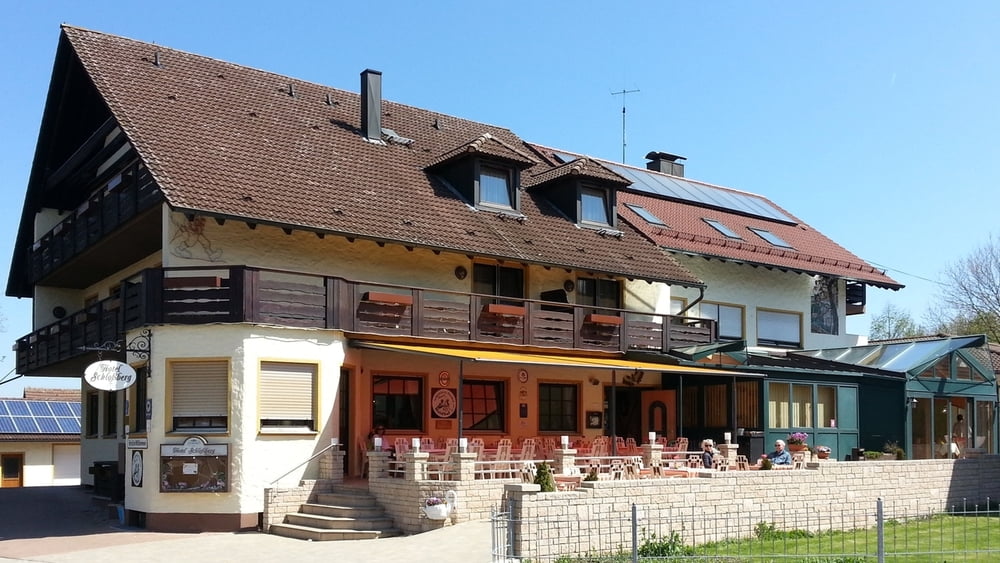
Vom Parkplatz Richtung Haidhof, bald rechts ab, dann nach links mit Rotstrich/ diagonal, an Kirschgärten vorbei, später durch ein Waldstück nach Haidhof. Dort kann man gemütlich im Hotel Schloßberg einkehren. Zurück laufen wir vom Hotel nach Westen an Häusern vorbei zum Wald,links ab an Kirschgärten vorbei.Wir treffen auf Rotkreuz und nehmen den Weg zurück zum Parkplatz.
HINWEIS zum Video:
Mit Mozilla Firefox und Flash- Player Plugin startet das Video direkt.
Andernfalls verwendet ihr in eurem Browser den Link:
https://www.google.de/#q=lkdwvKgvfMo
Tour gallery
Tour map and elevation profile
Minimum height 513 m
Maximum height 547 m
More about the tour author
|
|
heinz-57 |
Comments

Von Forchheim kommend über Wiesenthau, Schlaifhausen, vor Dietzhof rechts nach Obereherenbach und bergan nach Kasberg. An der berühmten Kasberger Linde Parkplatz.
GPS tracks
Trackpoints-
GPX / Garmin Map Source (gpx) download
-
TCX / Garmin Training Center® (tcx) download
-
CRS / Garmin Training Center® (crs) download
-
Google Earth (kml) download
-
G7ToWin (g7t) download
-
TTQV (trk) download
-
Overlay (ovl) download
-
Fugawi (txt) download
-
Kompass (DAV) Track (tk) download
-
Track data sheet (pdf) download
-
Original file of the author (gpx) download
More about the tour author
|
|
heinz-57 |
Add to my favorites
Remove from my favorites
Edit tags
Open track
My score
Rate