


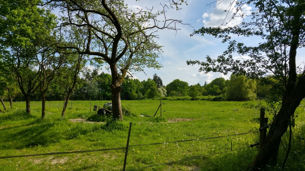
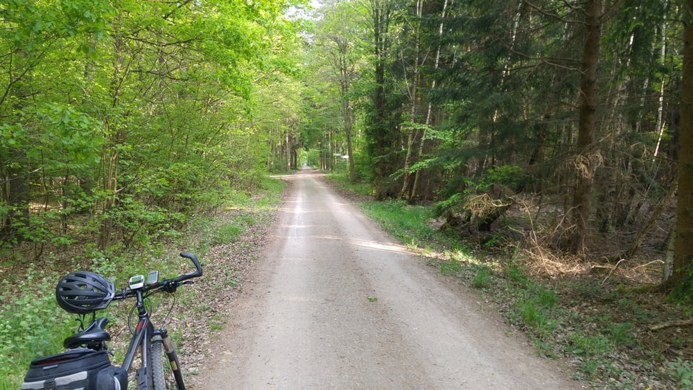
Wieder mal mit dem E-MTB rund um Bonn. Diesmal von Beuel über Bornheim nach Bad Godesberg. Wie immer auf dieser Rheinseite von Bonn....erst mal hoch auf die "Platte", danach alles auf einer Ebene. Wie mit dem Lineal gezogen durch den Wald....viel Wald. Vorab Richtung Bornheim ein oder zwei Stellen durch Brennnessel, je nach Jahreszeit versteht sich. Schöne Tour durch`s Grüne !
Rund um Bonn: Möchte jemand mitfahren ? E-MTB ausgewogen (kein Downhill, aber anstrengend darf es schon mal sein), immer den Spaß und die Natur im Vordergrund...eine Rast mit Kaltgetränk gehört auch dazu !
In der Woche bin ich mit einem Kollegen auf Tour, am We i.d.R. allein, da wäre ein/e Mitfahrer/in eine Bereicherung, denn geteilte Fahrfreude ist doppelte Freude !
Einfach Nachricht an mich in diesem Portal, ich freue mich !
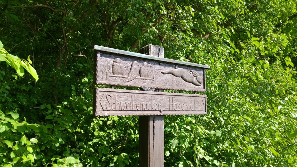
Tour gallery

Tour map and elevation profile
Minimum height 52 m
Maximum height 198 m
More about the tour author
|
|
dssoft |
Comments

Auch hier wieder...wer nicht aus Bonn kommt.....sucht Euch nen Parkplatz.....Rückweg zum Auto...immer am Rhein lang, kann man nicht verfehlen !
GPS tracks
Trackpoints-
GPX / Garmin Map Source (gpx) download
-
TCX / Garmin Training Center® (tcx) download
-
CRS / Garmin Training Center® (crs) download
-
Google Earth (kml) download
-
G7ToWin (g7t) download
-
TTQV (trk) download
-
Overlay (ovl) download
-
Fugawi (txt) download
-
Kompass (DAV) Track (tk) download
-
Track data sheet (pdf) download
-
Original file of the author (gpx) download
More about the tour author
|
|
dssoft |
Add to my favorites
Remove from my favorites
Edit tags
Open track
My score
Rate