Login

Forgotten password?

Cookies have to be accepted!
Your browser's cookie functionality is disabled. Please enable this functionality.

Not a member yet?

Register now
Login

Available for registred users only

Log in to use this feature.

Forgotten password?

Cookies have to be accepted!
Your browser's cookie functionality is disabled. Please enable this functionality.

Not a member yet?

Register now
Filter
Categories
Advanced filters
  • Distance (km)
  • Height
Save filters Reset filter

TrackRank

QRCode

Technical data

Distance46,0 km Height2694 m Way down2744 m Duration3 days 0 h Date29.05.2016
Scores Author Landscape Fun factor Fitness Technique

Statistics

263 Views Scores 25 Downloads Average
Rate
  • Track data sheet
  • Directions
  • Downloads

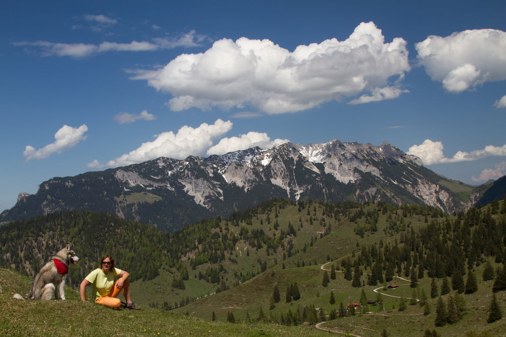
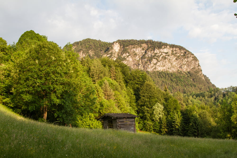
Unser Plan war Kaisergebirge über Ellmauer Tor durchqueren - es ist mit dem Hund unmöglich gewesen. Ab Gruttenhütte haben wir eine alternative Route gefunden.
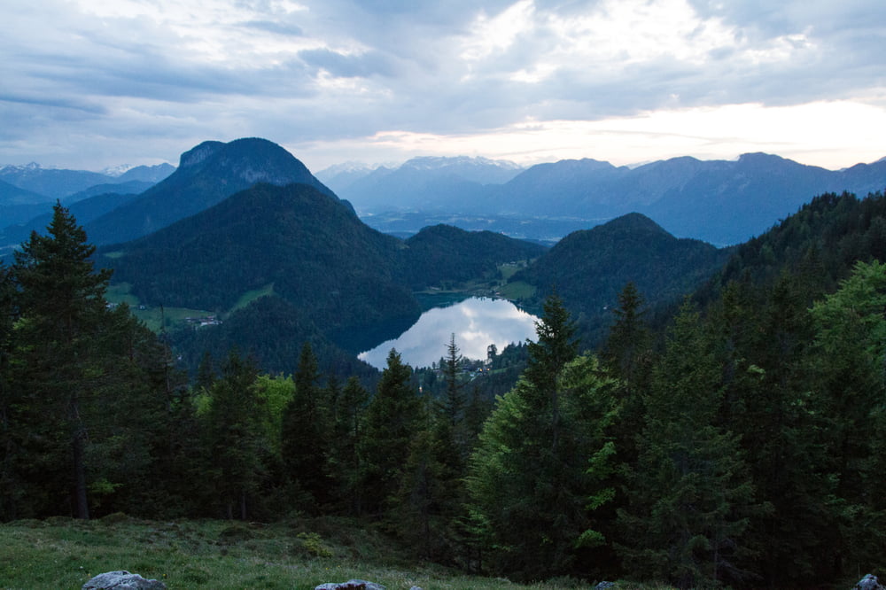
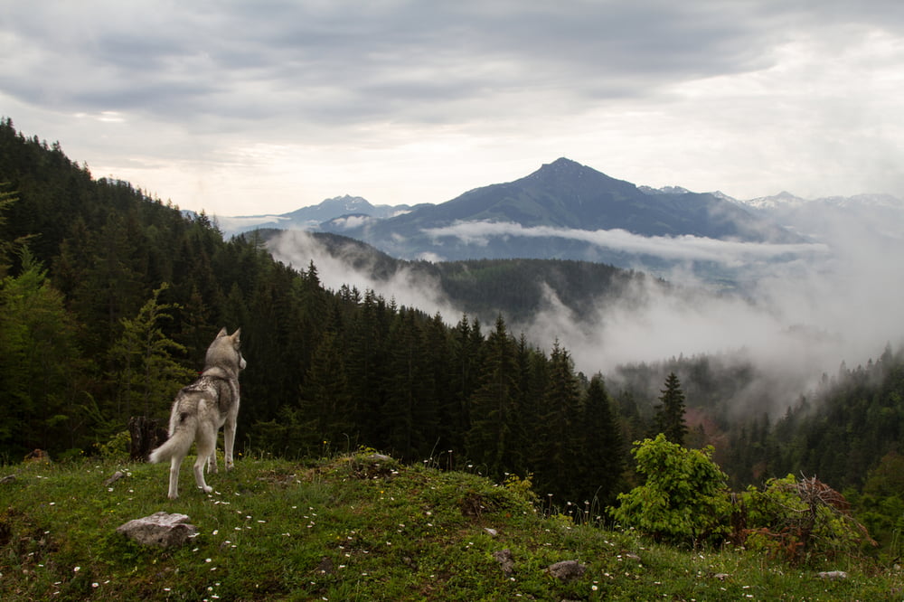
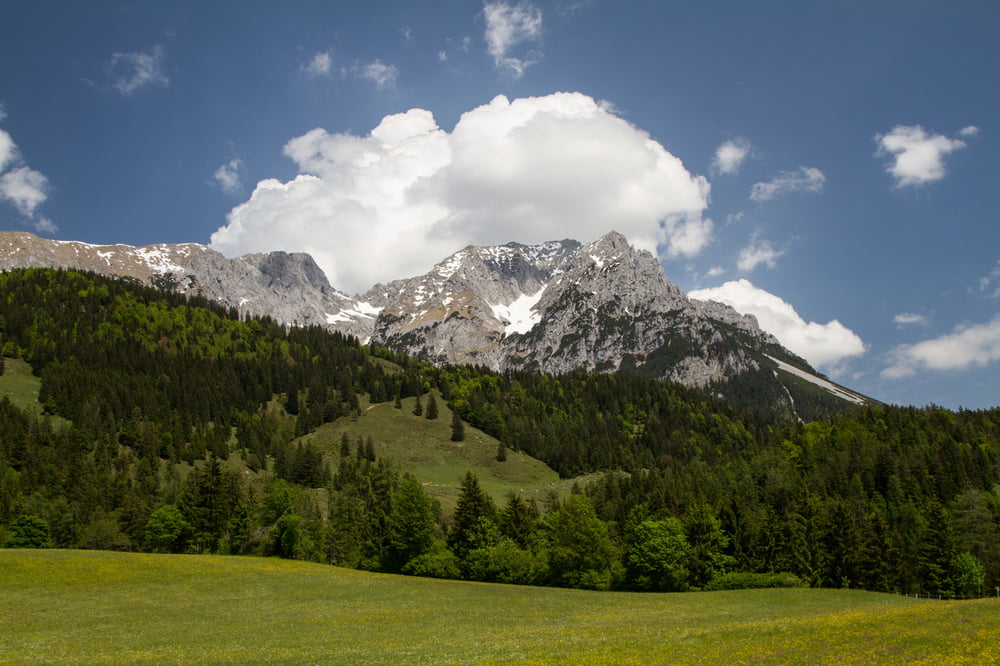
 

Tour gallery

Tour map and elevation profile

  • Open Street Map
  • Google
Minimum height 486 m Maximum height 1645 m Detailed view

More about the tour author

omir
Member since 2013

Send private message

Comments

Mit Bahn nach Kufstein


GPS tracks

Trackpoints
  • GPX / Garmin Map Source (gpx) download
  • TCX / Garmin Training Center® (tcx) download
  • CRS / Garmin Training Center® (crs) download
  • Google Earth (kml) download
  • G7ToWin (g7t) download
  • TTQV (trk) download
  • Overlay (ovl) download
  • Fugawi (txt) download
  • Kompass (DAV) Track (tk) download
  • Track data sheet (pdf) download
  • Original file of the author (gpx) download

More about the tour author

omir
Member since 2013

Send private message
Share track
Add to my favorites
Remove from my favorites
Edit tags
My score
Rate
Track: Kaisergebirge - 3 Tage mit Hund
Type: Mountain hiking
Distance: 46,0 km
Evaluated on:
Duration:
Day(s)
Hour(s)
Minute(s)
Score: Landscape Fun factor Fitness Technique