


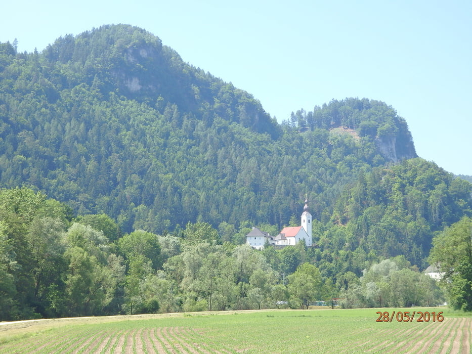
Startpunkt war die RK-Zentrale in Klagenfurt, könnte aber in Ebenthal liegen. Immer entlang der Glan bis Gurnitz, dann auf der L100 bis zur Abzweigung Obermieger, aufwärts auf Asphalt bis Obermieger, Raunjak, Abzweig nach rechts Richtung Sabuatach. Ab hier nicht mehr asphaltiert - Im Mühlgraben steil abwärts und schlechtere Strasseaber immer noch Mtb:scale 0. Ab Kohldorf auf der L100 über Kosasmojach wieder Richtung Ebenthal. Bei der Abzweigung Obitschach rechts weg, durch Obitschach aufwärts nach Haber, Untermieger zurück nach Obermieger und auf der Herfahrtsstrecke wieder zurück.
Tour gallery

Tour map and elevation profile
Minimum height 417 m
Maximum height 668 m
More about the tour author
|
|
walderich |
Comments

GPS tracks
Trackpoints-
GPX / Garmin Map Source (gpx) download
-
TCX / Garmin Training Center® (tcx) download
-
CRS / Garmin Training Center® (crs) download
-
Google Earth (kml) download
-
G7ToWin (g7t) download
-
TTQV (trk) download
-
Overlay (ovl) download
-
Fugawi (txt) download
-
Kompass (DAV) Track (tk) download
-
Track data sheet (pdf) download
-
Original file of the author (gpx) download
More about the tour author
|
|
walderich |
Add to my favorites
Remove from my favorites
Edit tags
Open track
My score
Rate