


Kurzbeschreibung
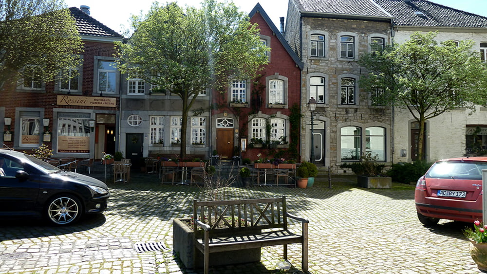
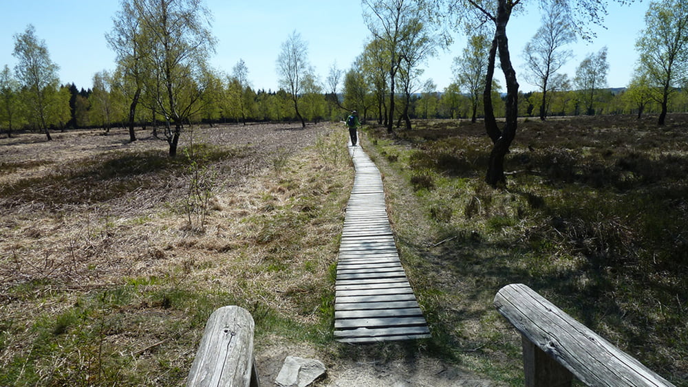
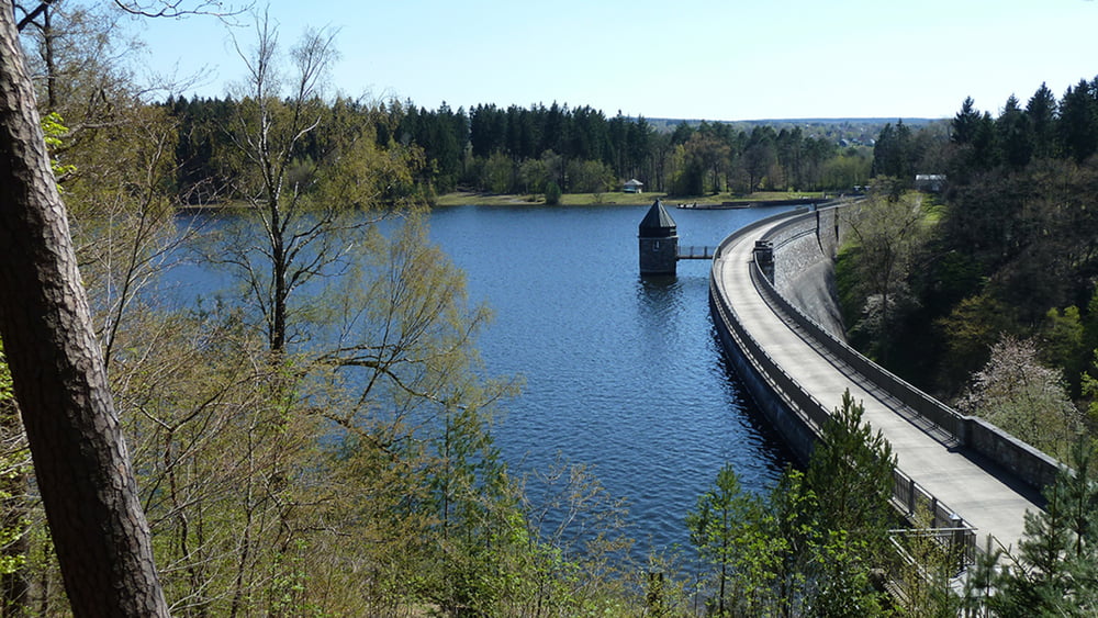
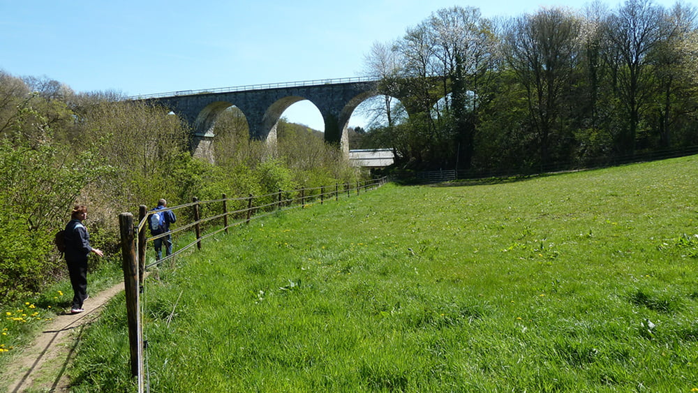
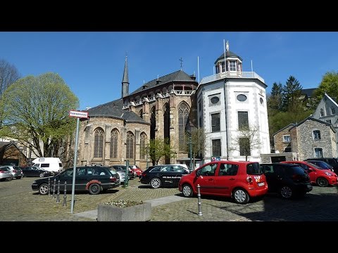
Im Aachener Stadtteil Kornelimünster, einem alten Pilgerort, startet der Eifelsteig und führt den Wanderer aus der umtriebigen Großstadt in die stille Natur. Im Tal der Inde klären Tafeln über die vielen Kalkbrennöfen am Wegesrand auf. Nach einem kurzen Anstieg ist das Naturschutzgebiet Struffelt Heide, mit seinen Mooren und Zwergstrauchheiden erreicht. Holzstege führen durch das beeindruckende Biotop. Weiter geht es vorbei an die Dreilägerbachtalsperre bis nach Roetgen, dem „Tor zur Eifel“.
Tour gallery
Tour map and elevation profile
Minimum height 222 m
Maximum height 454 m
More about the tour author
|
|
schleidy |
Comments

GPS tracks
Trackpoints-
GPX / Garmin Map Source (gpx) download
-
TCX / Garmin Training Center® (tcx) download
-
CRS / Garmin Training Center® (crs) download
-
Google Earth (kml) download
-
G7ToWin (g7t) download
-
TTQV (trk) download
-
Overlay (ovl) download
-
Fugawi (txt) download
-
Kompass (DAV) Track (tk) download
-
Track data sheet (pdf) download
-
Original file of the author (gpx) download
More about the tour author
|
|
schleidy |
Add to my favorites
Remove from my favorites
Edit tags
Open track
My score
Rate