


Tourendatum: 04.06.2016
Tourencharakter: Technisch einfache, kurze Rundtour auf Asphalt und Sandstraßen. Besteigung des Gr. Hundshorns recht lohnend, schöner Rundblick (zusätzl. knappe Stunde Anstieg).
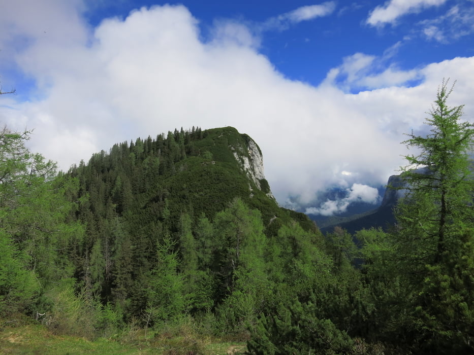
Tourenverlauf: Vom PP (635) auf Asphalt ins ruhige Wildental hinauf bis zum obersten Hof (ca. 1000). Ab hier auf Sand weiter aufwärts zur Hundsalm (ca. 1300, Bikedepot). Zu Fuß in einer knappen Stunde auf das einsame Gr. Hundshorn (1705, schöner Rundblick).
Zurück beim Bikedepot kurz abwärts, dann links hinüber der Straße nach über die Almwiesen, an einer Alm (Hundalm Migglkaser, 1309) vorbei über den Sattel nordseitig auf der Sandstraße talwärts. In ca.940m nach Einmündung in Sandstraße links abbiegen Richtung Knappenstadl, Lofer. In ca. 850m Einmündung in ein Asphaltsträsschen, das links abwärts an der Abzeigung zum Ghs. Knappenstadl (794) vorbei nach Scheffsnoth führt.
Vor der Saalach links ab auf dem landschaflich schönen Radweg der Saalach entlang zurück nach St. Martin.
Tour gallery


Tour map and elevation profile
Minimum height 625 m
Maximum height 1706 m
More about the tour author
|
|
Eimy |
Comments

Autobahn München - Salzburg, Ausfahrt Traunstein, Inzell. Auf der B305 über Insell nach Schneizelreuth. Hier links abbiegen und über die Grenze nach Lofer. Hier Richtung Saalfelden, ca. 1km nach Lofer erreicht man St. Martin (rechterhand). Links zweigt eine Straße über die Saalach ab ins Wildental (Wegweiser, kl. Parkplatz rechts vor der Brücke).
GPS tracks
Trackpoints-
GPX / Garmin Map Source (gpx) download
-
TCX / Garmin Training Center® (tcx) download
-
CRS / Garmin Training Center® (crs) download
-
Google Earth (kml) download
-
G7ToWin (g7t) download
-
TTQV (trk) download
-
Overlay (ovl) download
-
Fugawi (txt) download
-
Kompass (DAV) Track (tk) download
-
Track data sheet (pdf) download
-
Original file of the author (gpx) download
More about the tour author
|
|
Eimy |
Add to my favorites
Remove from my favorites
Edit tags
Open track
My score
Rate