


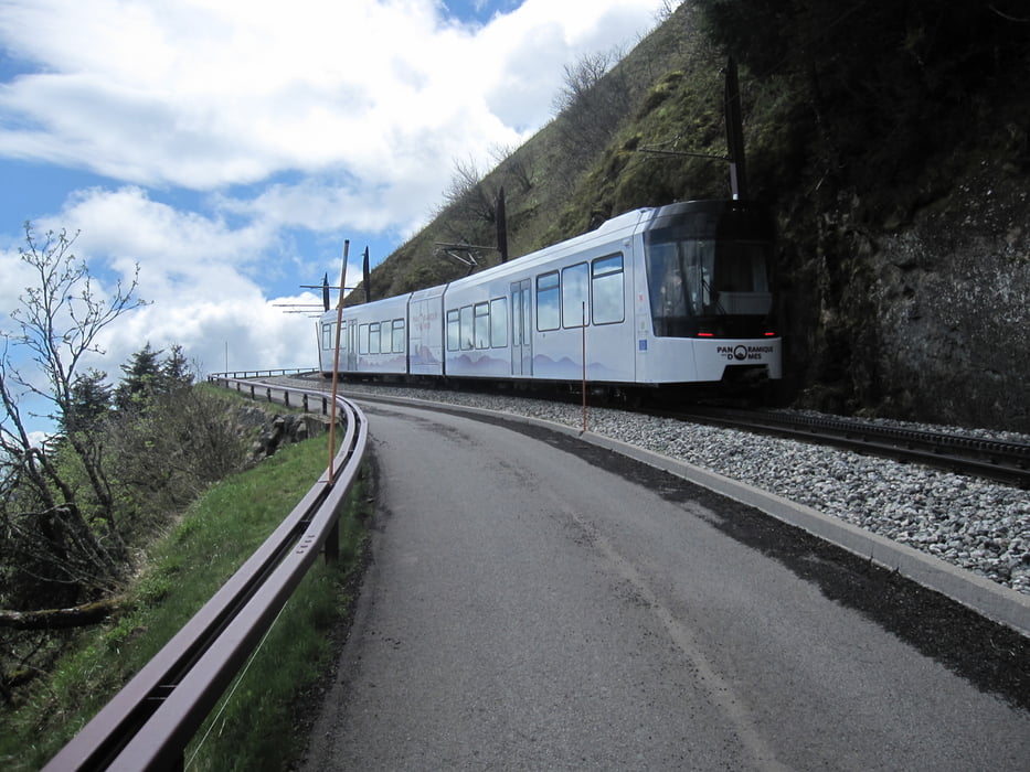
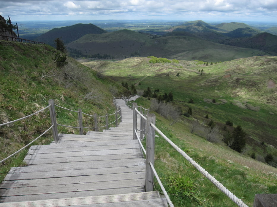
Der Puy de Dome ist von vielen Vulkankegeln, die sich westlich von Clermont-Ferrand in Richtung Süden erstrecken (Puy franz. Vulkankegel). Die Vulkanlandschaften prägen die Landschaft der Auvergne.
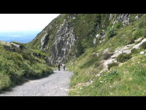
Das siehe You Tube Video Le Puy de Dôme et autres volcans de la Chaîne des Puys zeigt die Landschaft eindrucksvoll.
Der Originaltrack stammt von Wikiloc Puy de Dôme- Nid de poule- Puy de Pariou.
siehe auch Tour 8 Rother Wanderführer Auvergne, Seite 40
Mehr Bilder siehe weitere Informationen.
Further information at
https://www.facebook.com/dieter.drillich/media_set?set=a.1219237991422106.1073741842.100000077491153&type=3Tour gallery

Tour map and elevation profile
Minimum height 1048 m
Maximum height 1455 m
More about the tour author
|
|
GPSDieter |
Comments

Aus Richtung Clermont-Ferrand kommend, folgen Sie der D492 und D68. Am Fuß des Puy de Dome ist der Weg zum Parkplatz gut ausgeschildert.
Oder geben Sie in Ihr Navigationssystem die GPS Koordinaten N45° 45' 49.7" E2° 57' 22.8" ein.
GPS tracks
Trackpoints-
GPX / Garmin Map Source (gpx) download
-
TCX / Garmin Training Center® (tcx) download
-
CRS / Garmin Training Center® (crs) download
-
Google Earth (kml) download
-
G7ToWin (g7t) download
-
TTQV (trk) download
-
Overlay (ovl) download
-
Fugawi (txt) download
-
Kompass (DAV) Track (tk) download
-
Track data sheet (pdf) download
-
Original file of the author (gpx) download
More about the tour author
|
|
GPSDieter |
Add to my favorites
Remove from my favorites
Edit tags
Open track
My score
Rate