


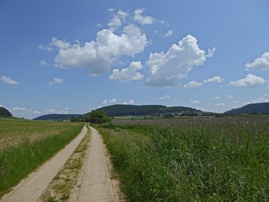
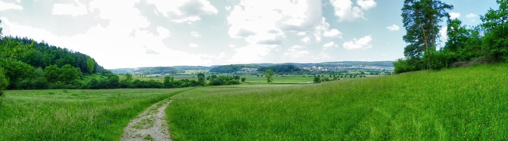
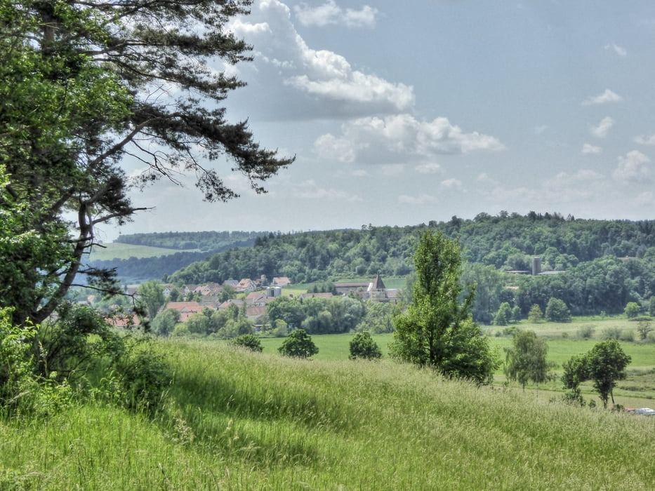
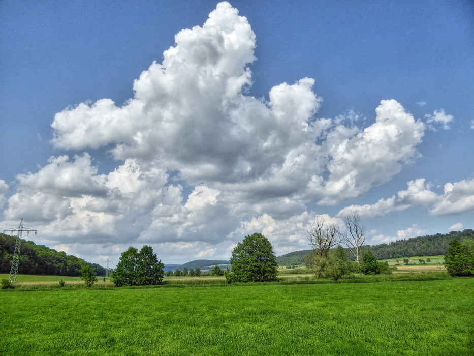
Der Mühlenweg bei Treuchtlingen
Parken ist kostenlos möglich nach dem Thermalbad in Treuchtlingen.
Der Wanderweg führt auf Wegen nach Schambach und weiter nach Dietfurt.
Einkehr in Schambach, Dietfurt und Treuchtlingen möglich.
Viel Spaß beim entdecken
Further information at
http://www.treuchtlingen.de/Wandern.401.98.htmlTour gallery
Tour map and elevation profile
Minimum height 407 m
Maximum height 541 m
More about the tour author
|
|
Rezatfisch |
Comments

Der Mühlenweg bei Treuchtlingen
Parken ist kostenlos möglich nach dem Thermalbad in Treuchtlingen.
Der Wanderweg führt auf Wegen nach Schambach und weiter nach Dietfurt.
Einkehr in Schambach, Dietfurt und Treuchtlingen möglich.
Viel Spaß beim entdecken
GPS tracks
Trackpoints-
GPX / Garmin Map Source (gpx) download
-
TCX / Garmin Training Center® (tcx) download
-
CRS / Garmin Training Center® (crs) download
-
Google Earth (kml) download
-
G7ToWin (g7t) download
-
TTQV (trk) download
-
Overlay (ovl) download
-
Fugawi (txt) download
-
Kompass (DAV) Track (tk) download
-
Track data sheet (pdf) download
-
Original file of the author (gpx) download
More about the tour author
|
|
Rezatfisch |
Add to my favorites
Remove from my favorites
Edit tags
Open track
My score
Rate