
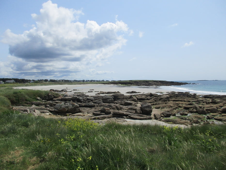

Wir starten unsere kleine Tour am Strand von Kersidan und dort namentlich am Chemin des Sables 6. Wir sind gleich auch auf den Sentier Côtier, der uns zunächst durch die Dünen und dann oberhalb des Plage de Kersidan weiter führt. Bald erreichen wir die Route de la Corniche, die wir überqueren und uns auf dem Hent Keryann in die Büsche schlagen. Schnell geht es rechts weg und auf schmalem Pfad werden wir hinter Kersidan vorbei geführt. Wir treffen auf den von Tréhubert kommenden Wanderweg, biegen nach links auf ihn ein und erreichen bald St. Philibert. Der Hent-an-Aod ist rechts weggehend kurz unser Begleiter, wir besuchen die Chapelle de St. Philibert und streben dann auf dem Chemin de Parcours Sportif einem schmalen Pfad zu, der sich tatsächlich als Trimm-Dich-Pfad erweist. Recht sportlich werden wir also nun zum Plage de Trez-Caou gebracht, dort biegen wir auf den Sentier Côtier, den Küstenwanderweg, ein und kommen zum Plage de Don. Weiter geht es an der Küste entlang, wir umrunden die Pointe de Kerjean und finden uns am weiten Plage de Kersidan wieder. Von hier ist es dann nur noch ein Katzensprung zum Ausgangspunkt unserer Runde zurück.
Tour gallery


Tour map and elevation profile
Minimum height -79 m
Maximum height 26 m
More about the tour author
|
|
Sigi2910 |
Comments

GPS tracks
Trackpoints-
GPX / Garmin Map Source (gpx) download
-
TCX / Garmin Training Center® (tcx) download
-
CRS / Garmin Training Center® (crs) download
-
Google Earth (kml) download
-
G7ToWin (g7t) download
-
TTQV (trk) download
-
Overlay (ovl) download
-
Fugawi (txt) download
-
Kompass (DAV) Track (tk) download
-
Track data sheet (pdf) download
-
Original file of the author (gpx) download
More about the tour author
|
|
Sigi2910 |
Add to my favorites
Remove from my favorites
Edit tags
Open track
My score
Rate